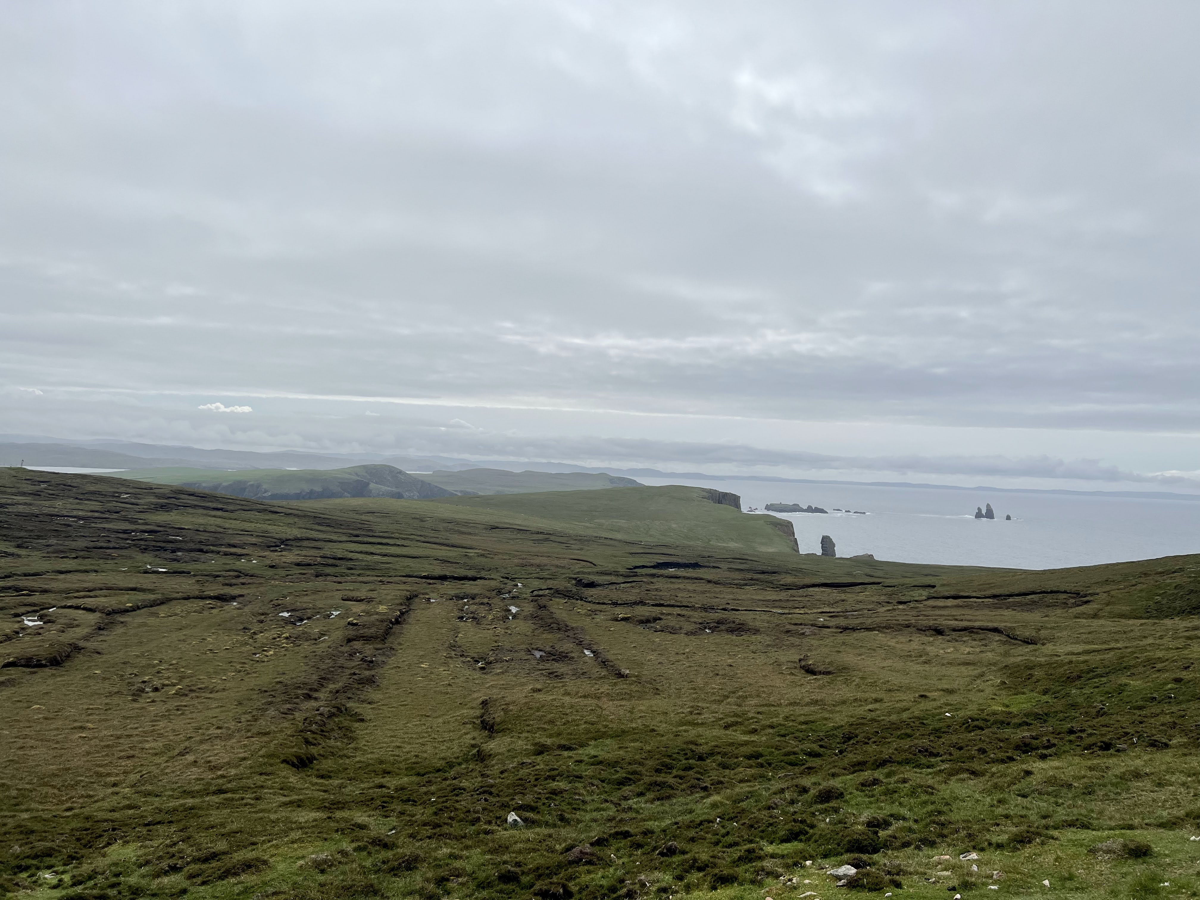
The drive up to Eshaness is breathtaking as well. You can see The Drongs way out in the distance.
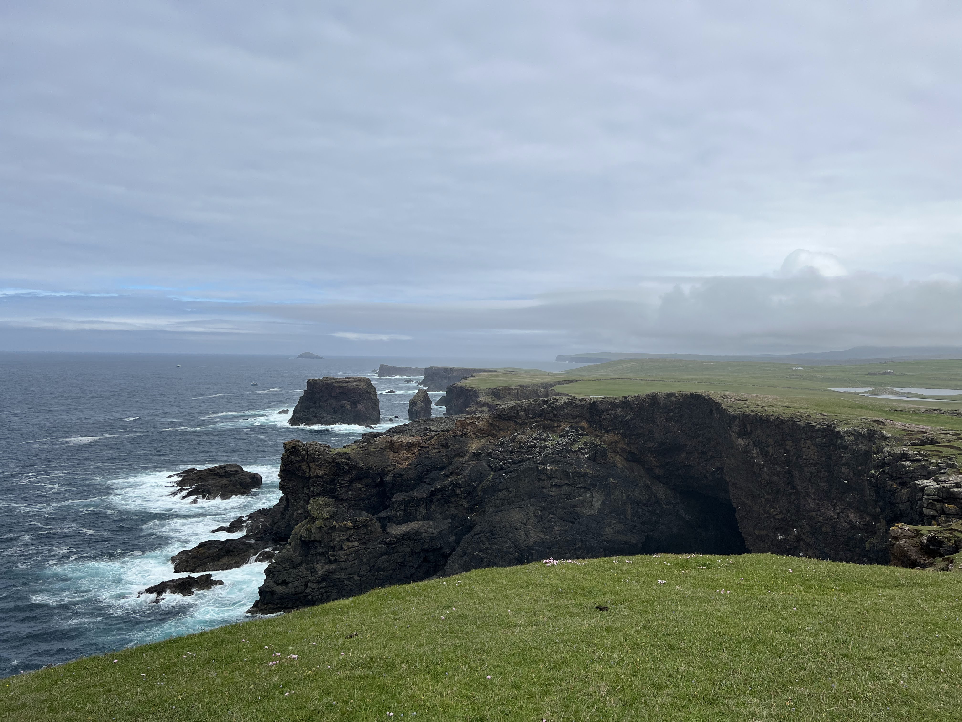
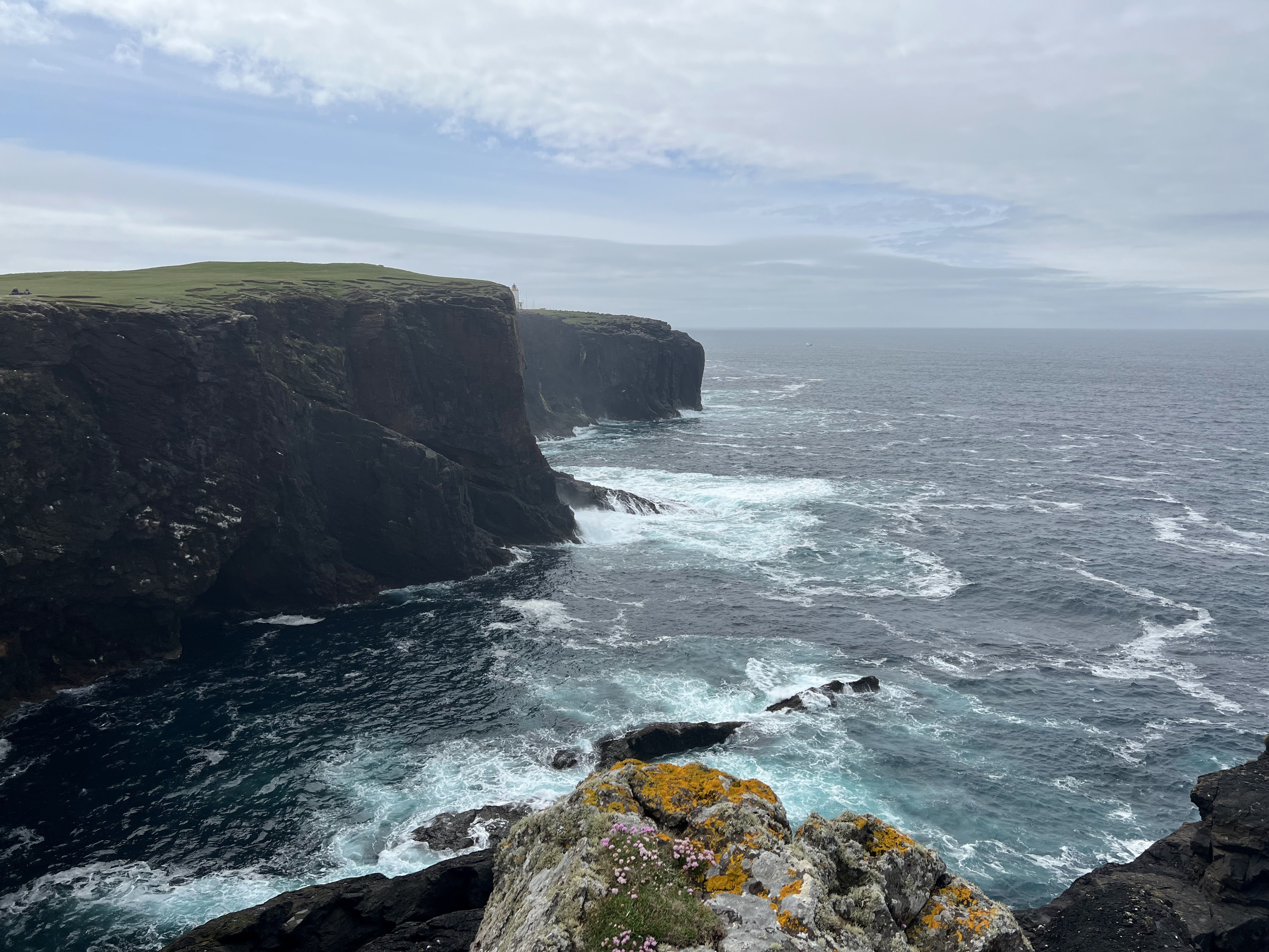
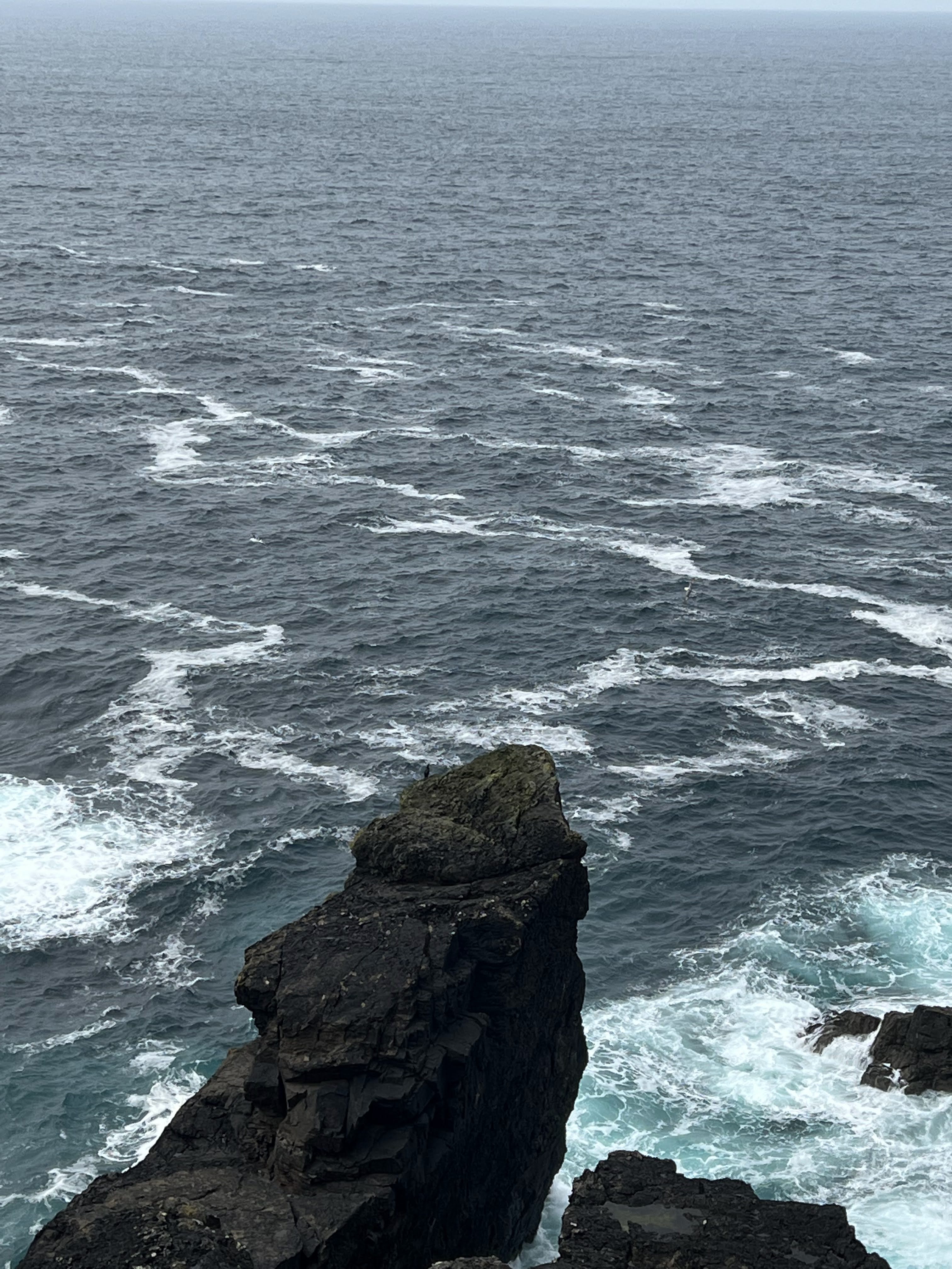
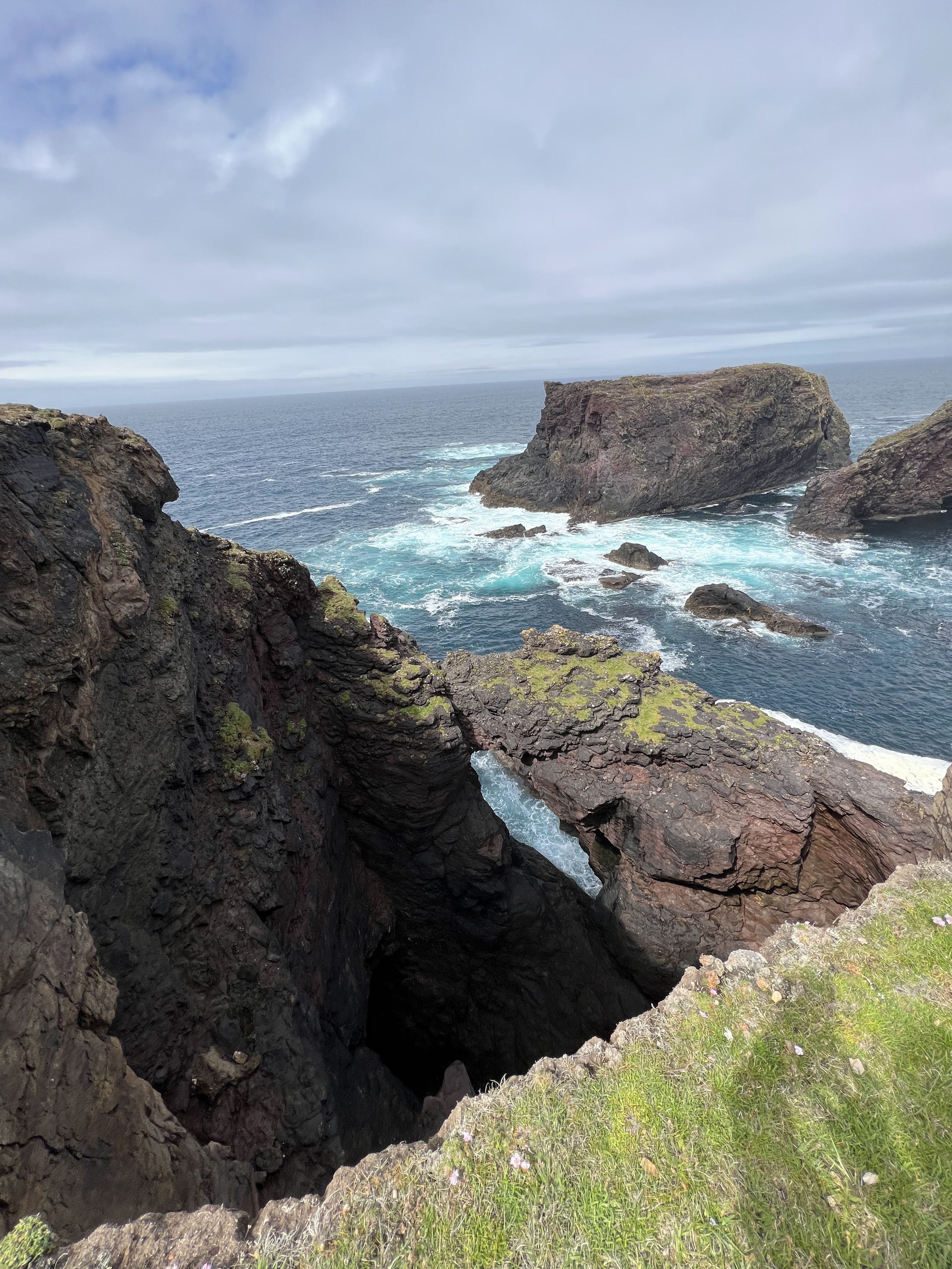
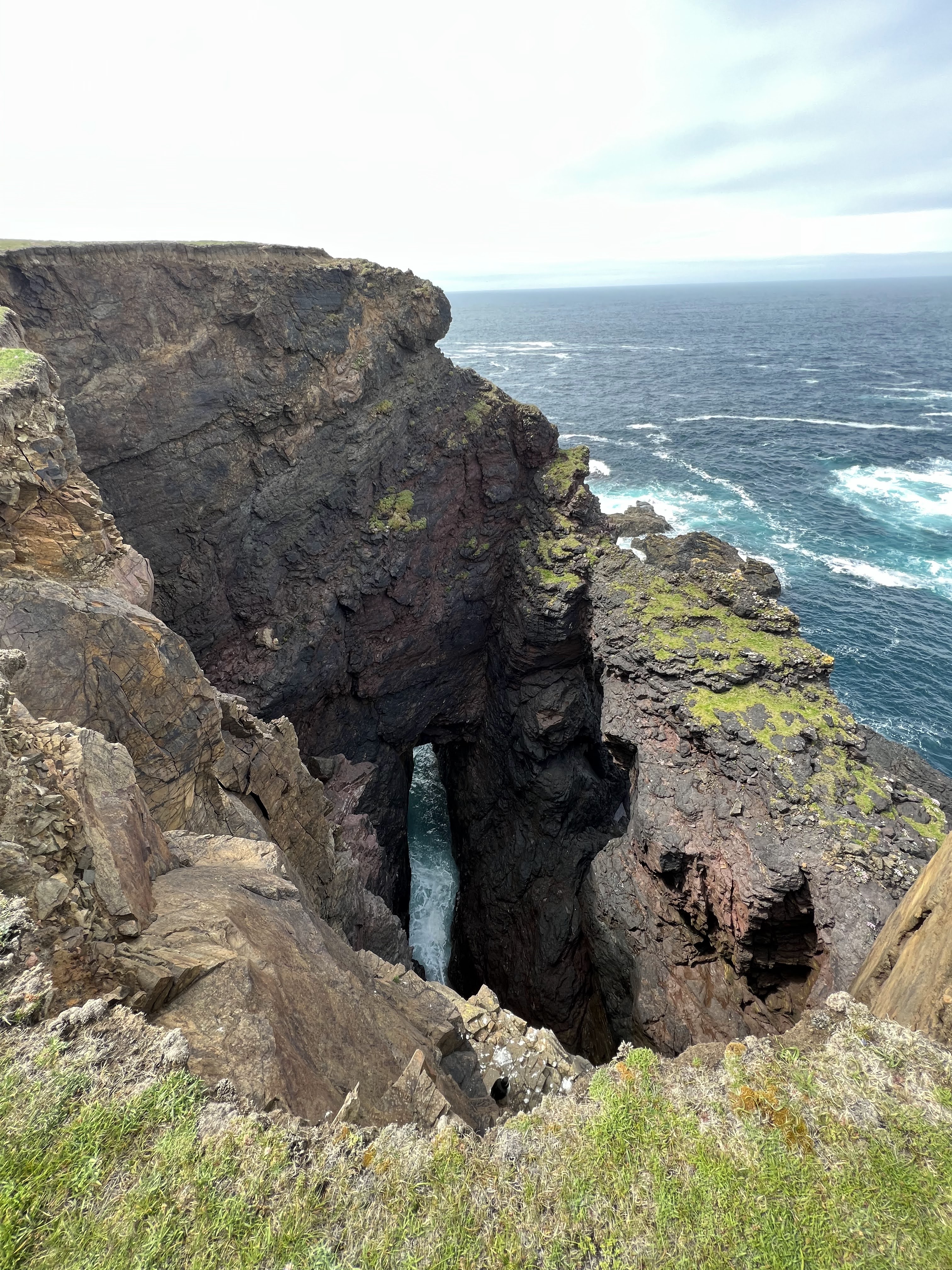
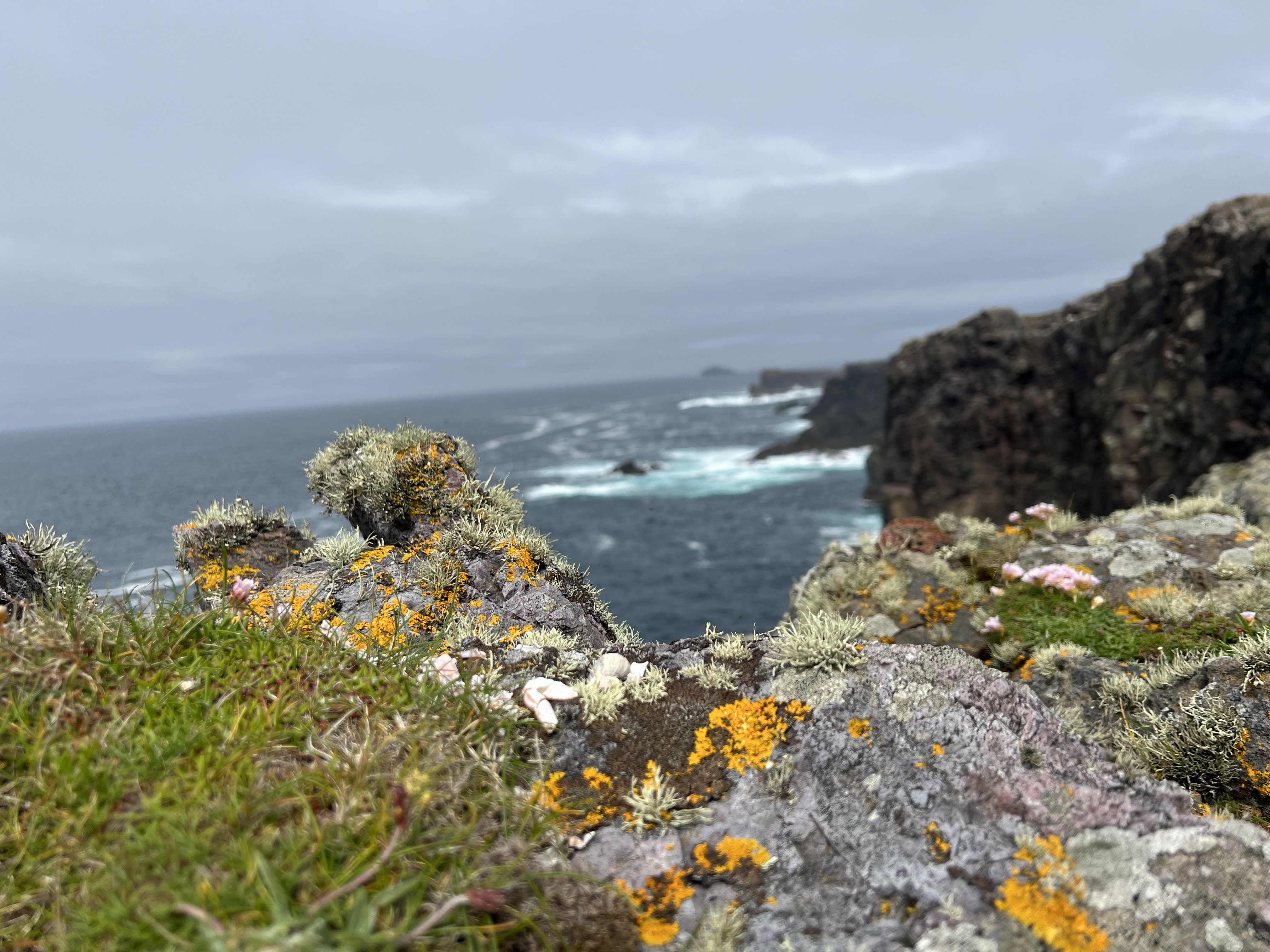
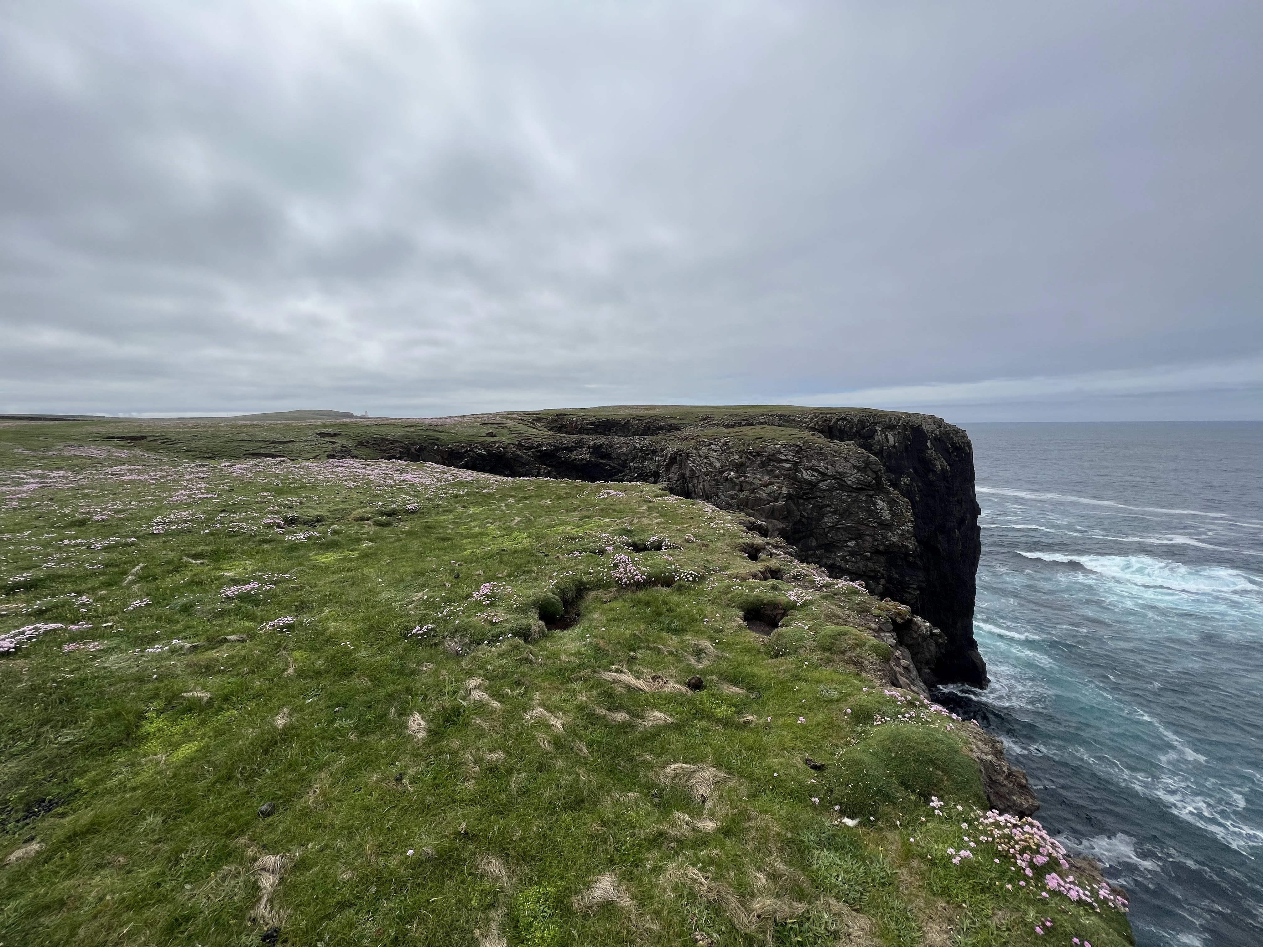
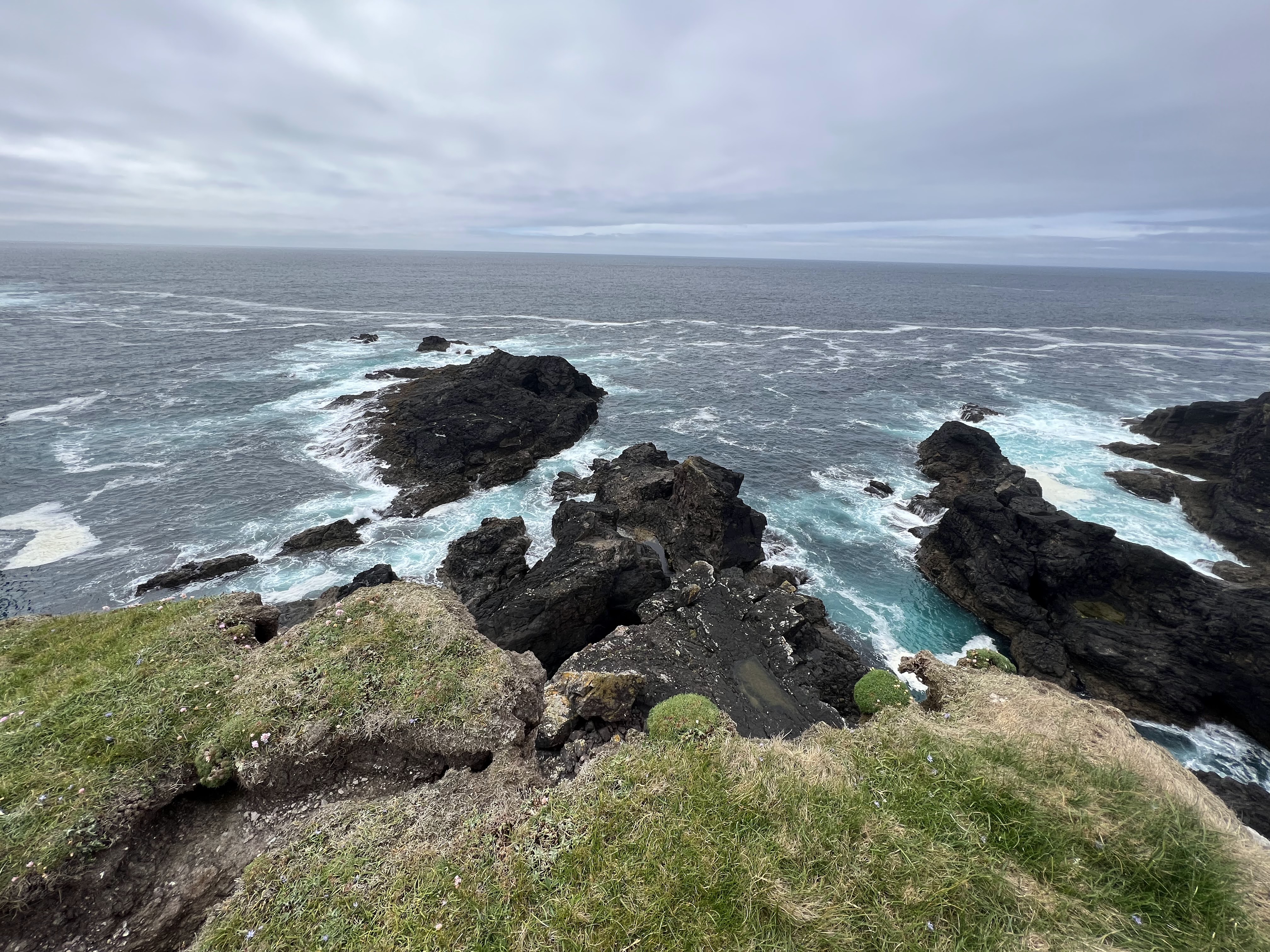
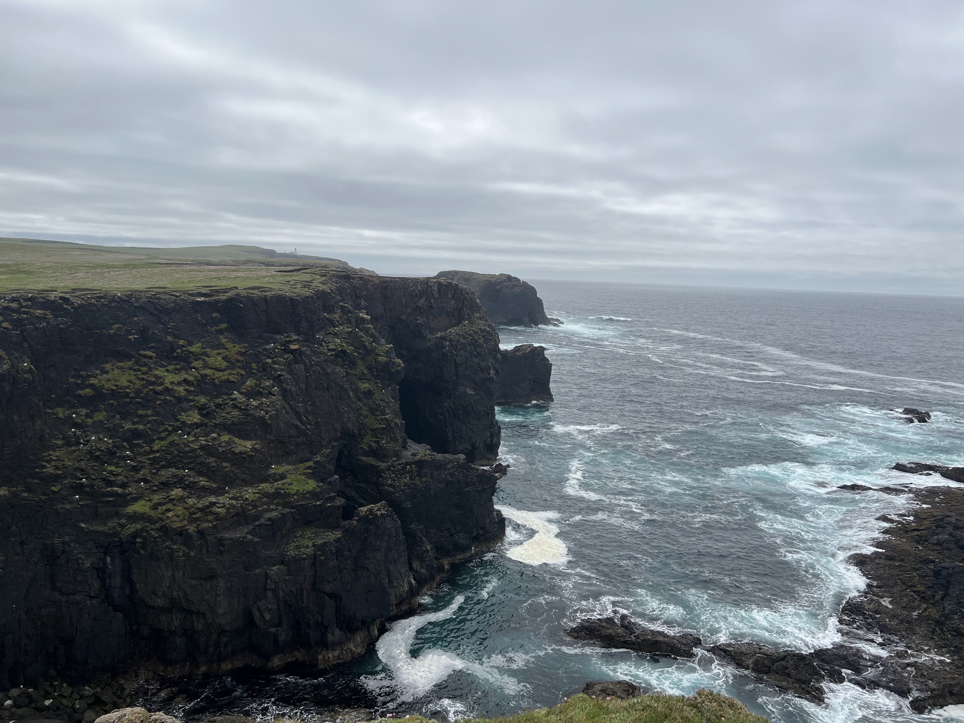
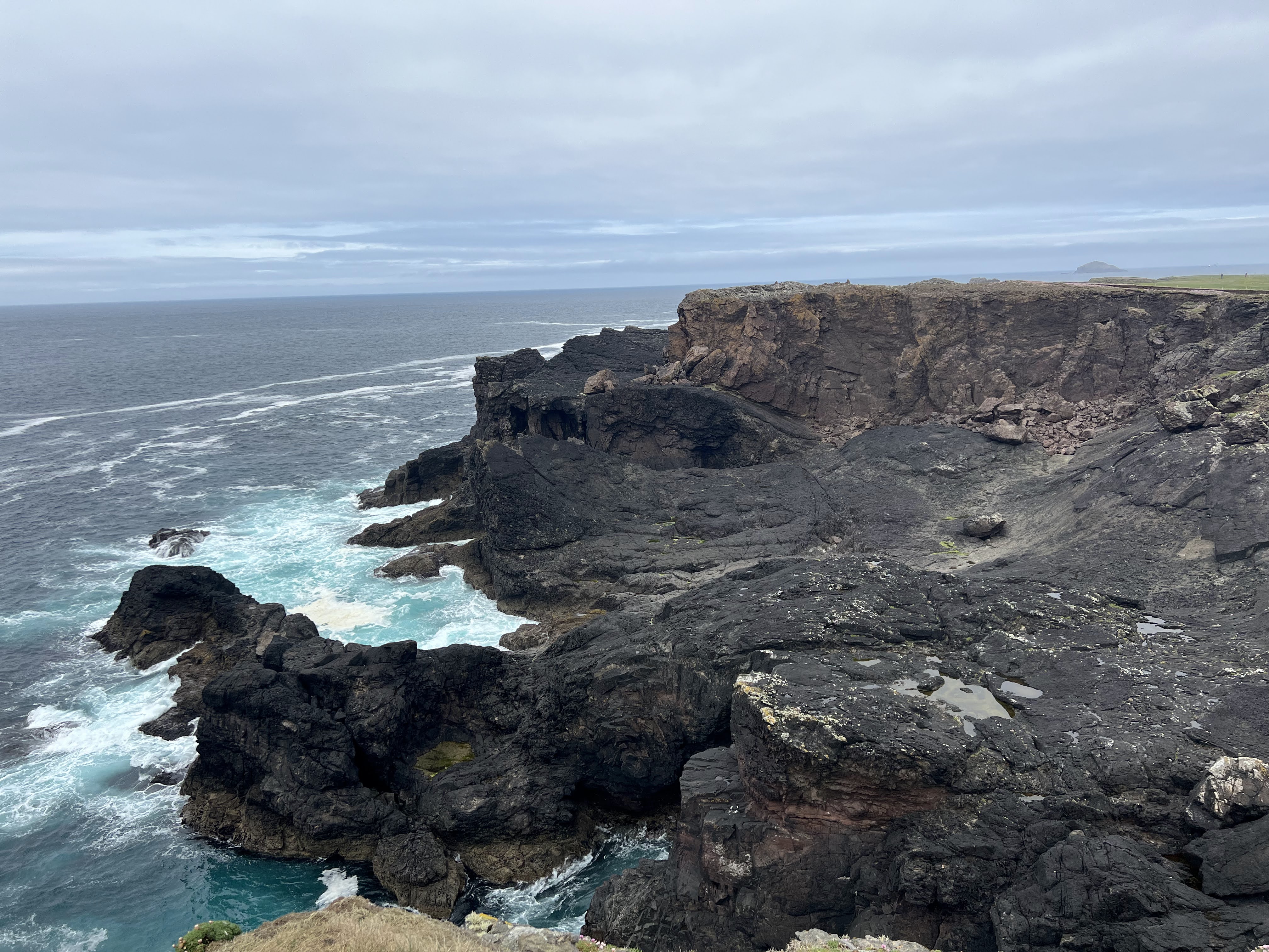
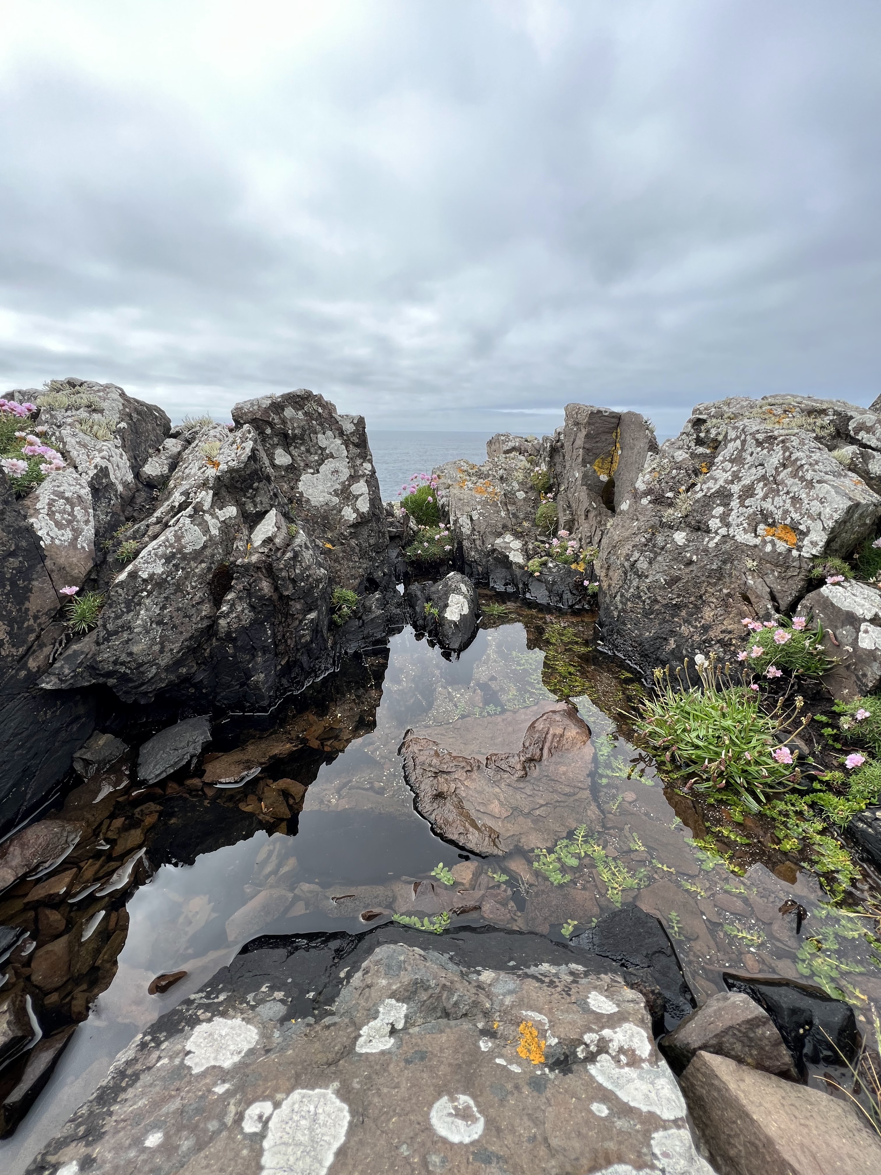
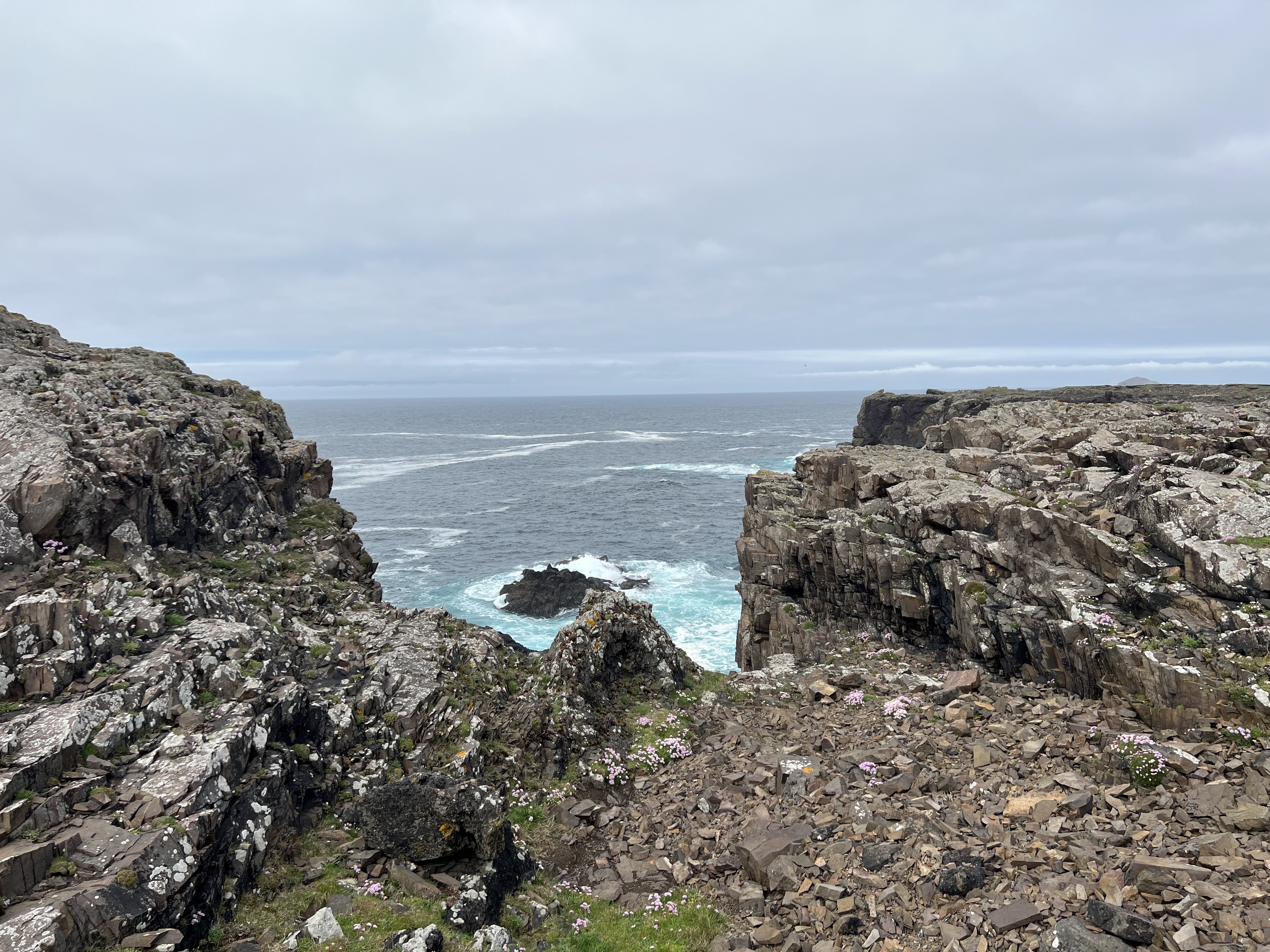
The first feature (after the lighthouse, which I didn’t photograph) is Calder’s Geo. It is huge and the cliffs of it are really high. It’s hard to capture, in truth. I was very lucky the wind was relatively calm, so I could get to the edge of this geo, and others along the walk (as you’ll see).
A pair of puffins! A very rare sight here.Looking north.
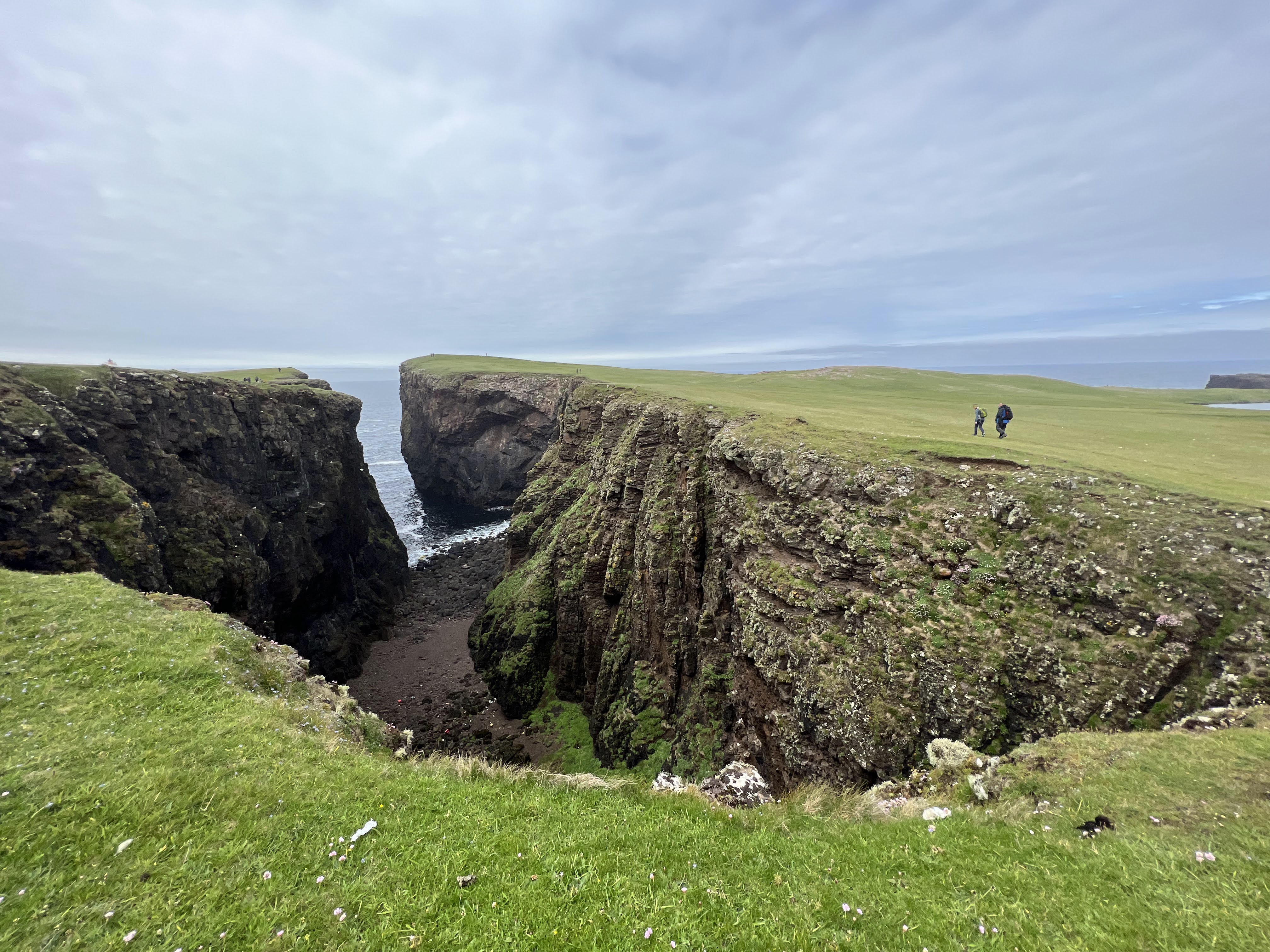
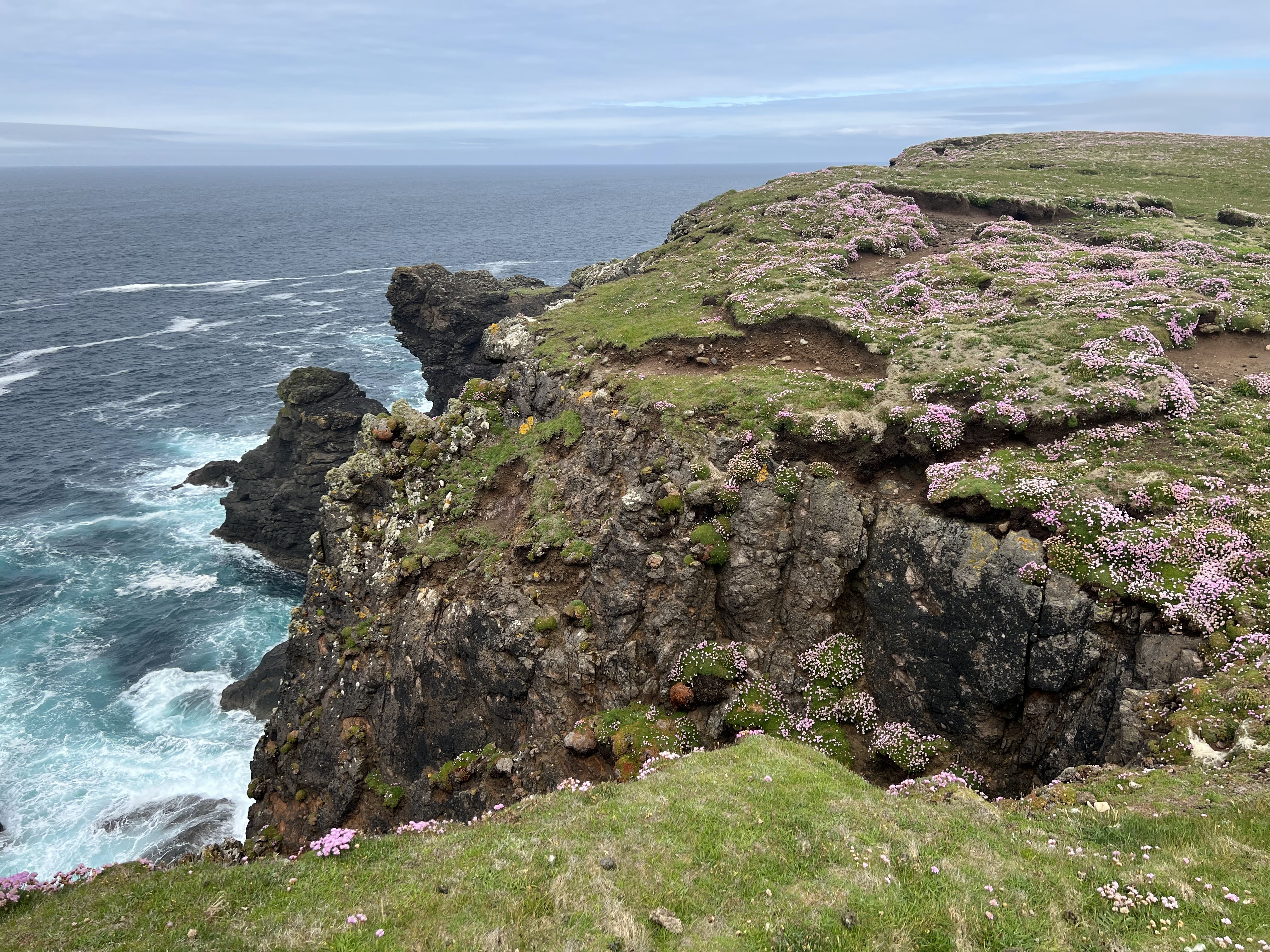
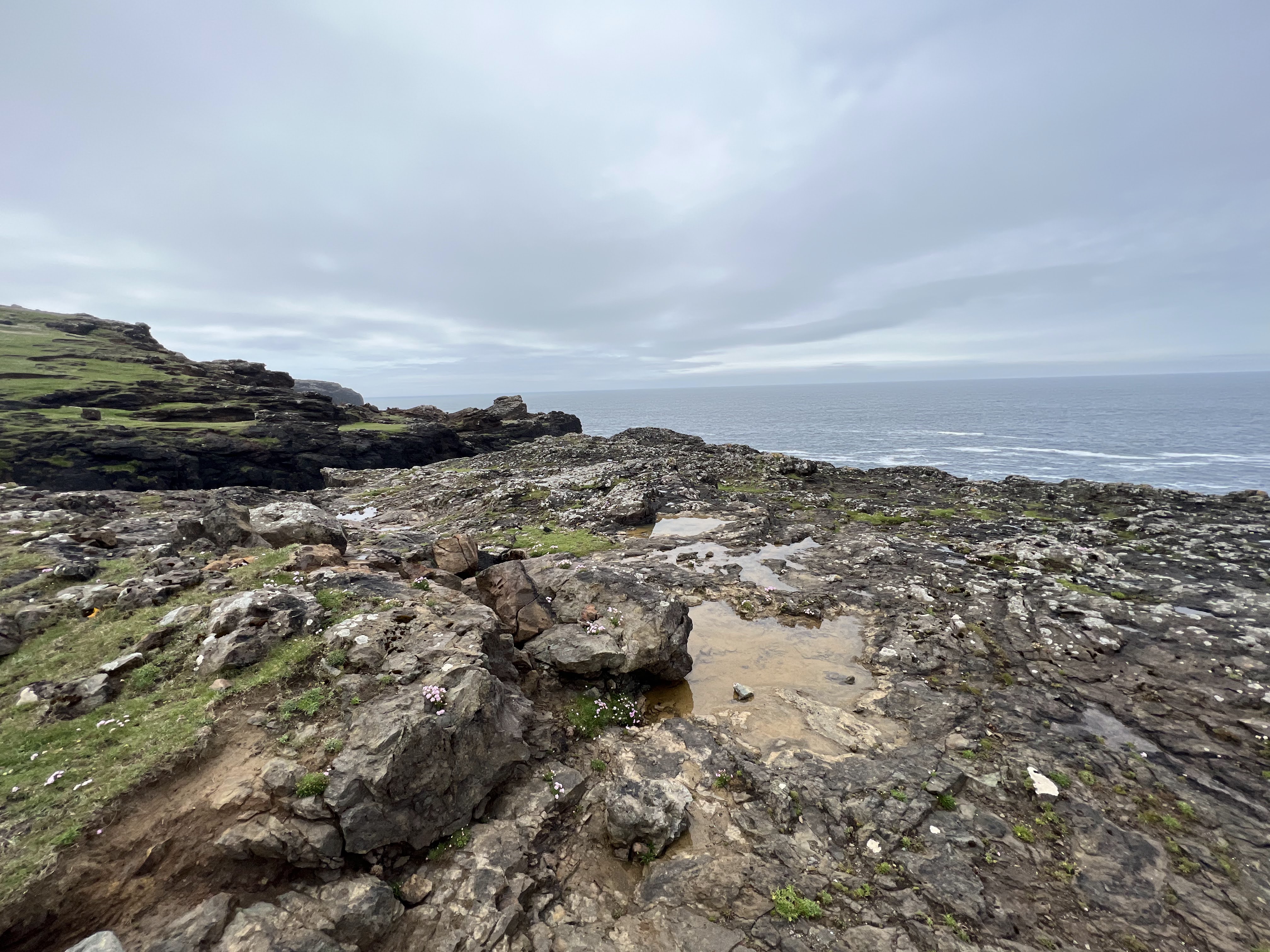
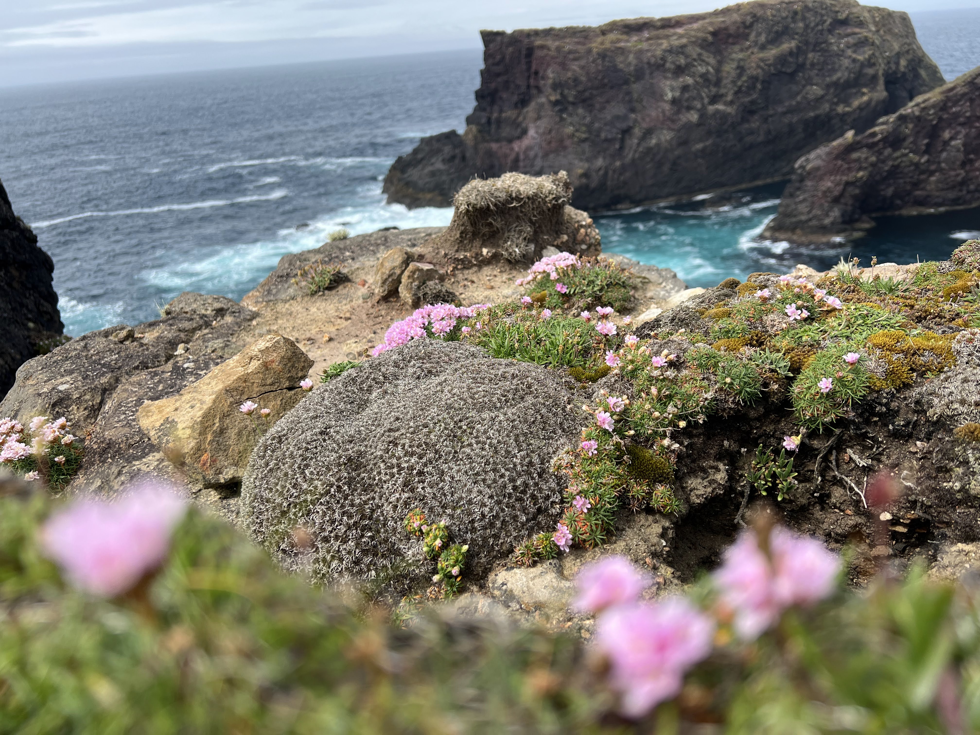
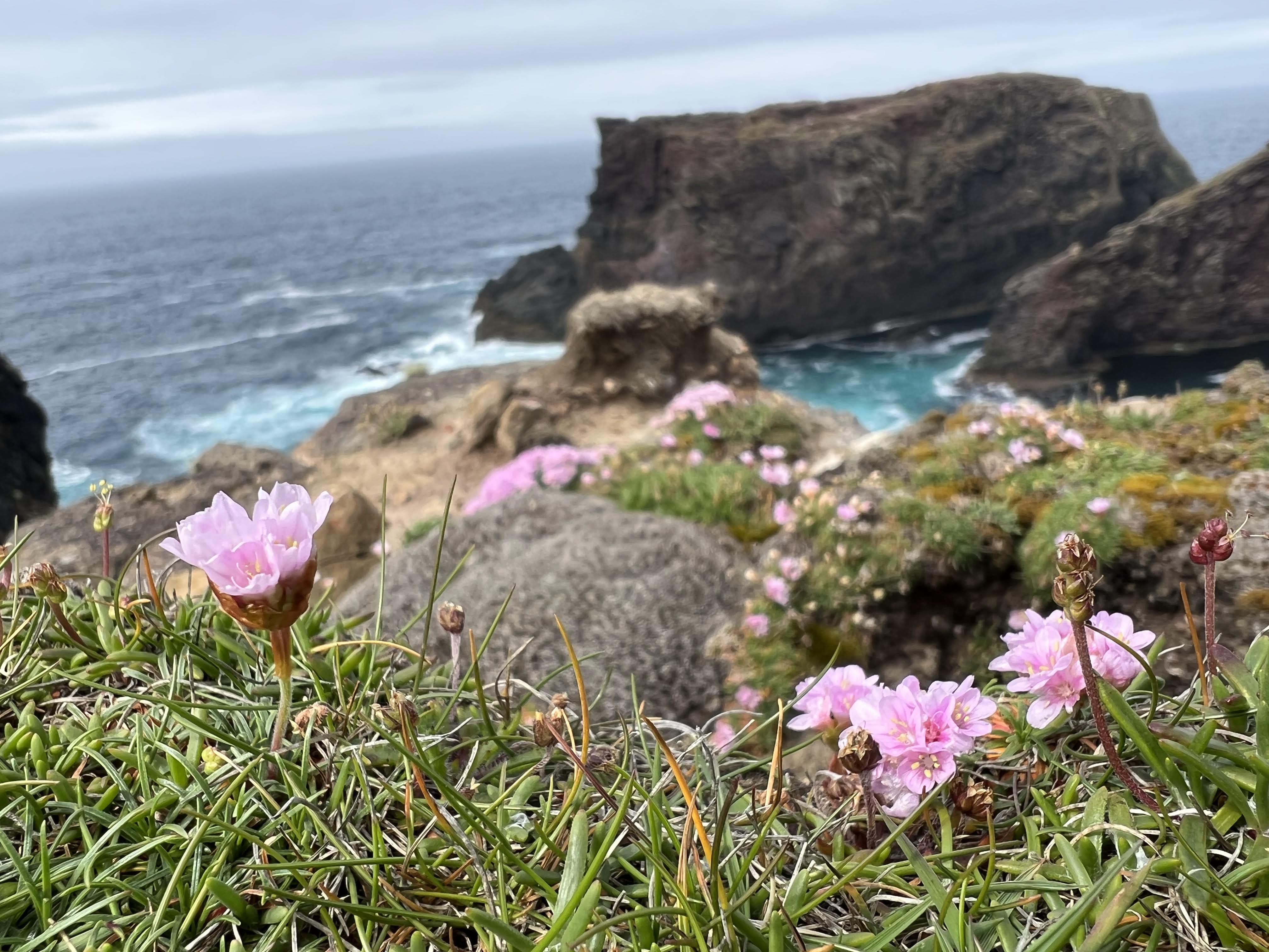
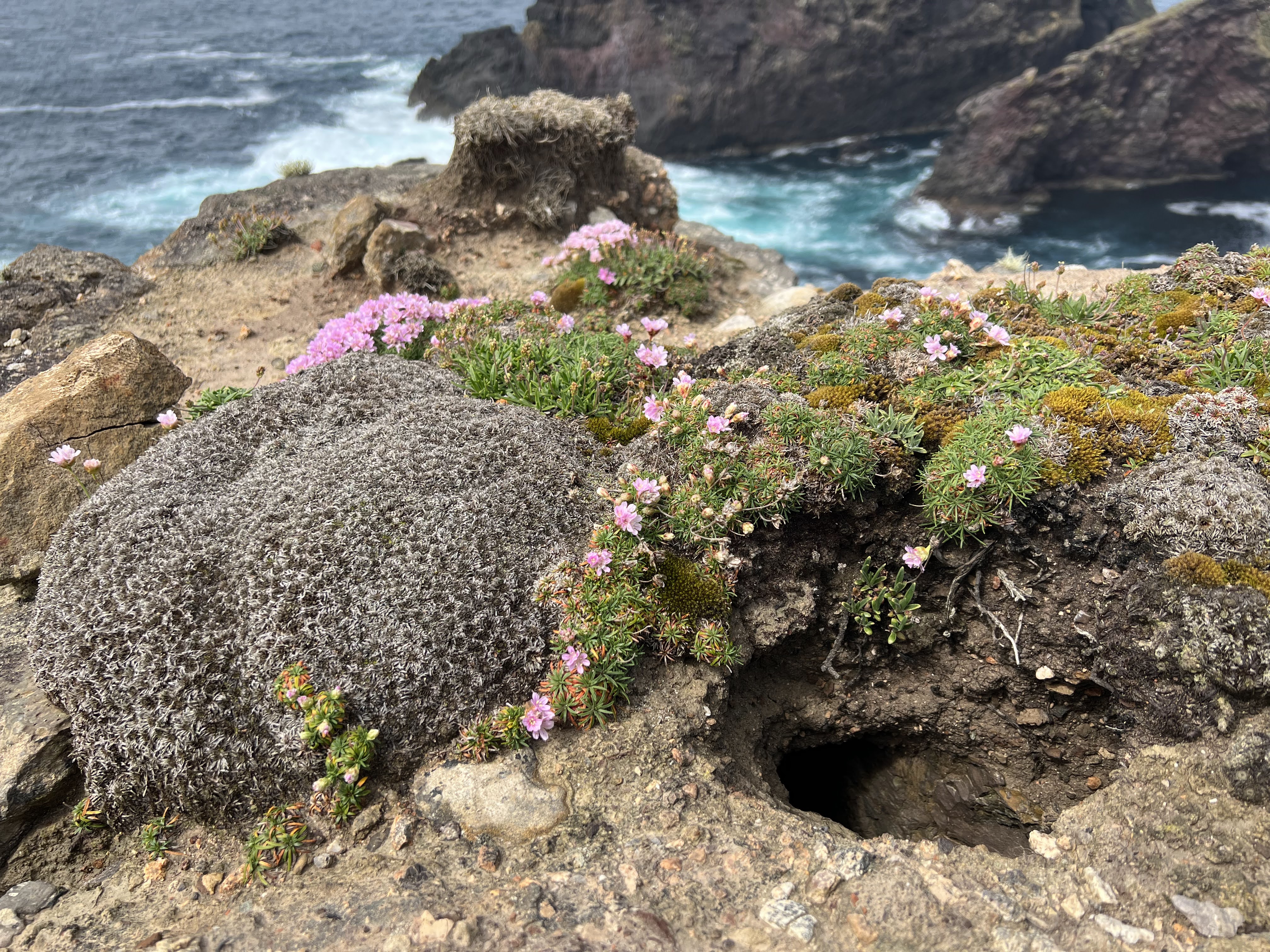
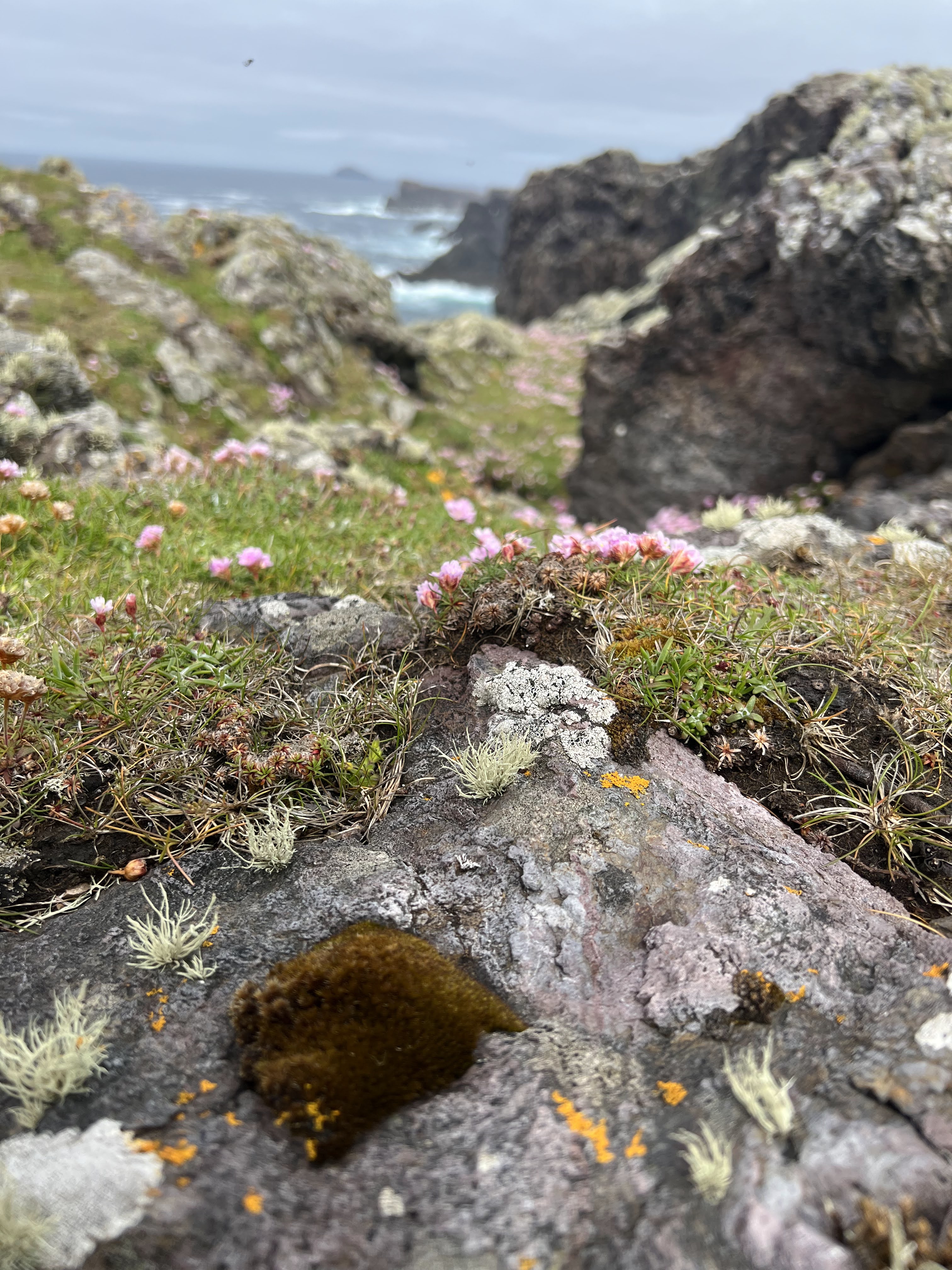
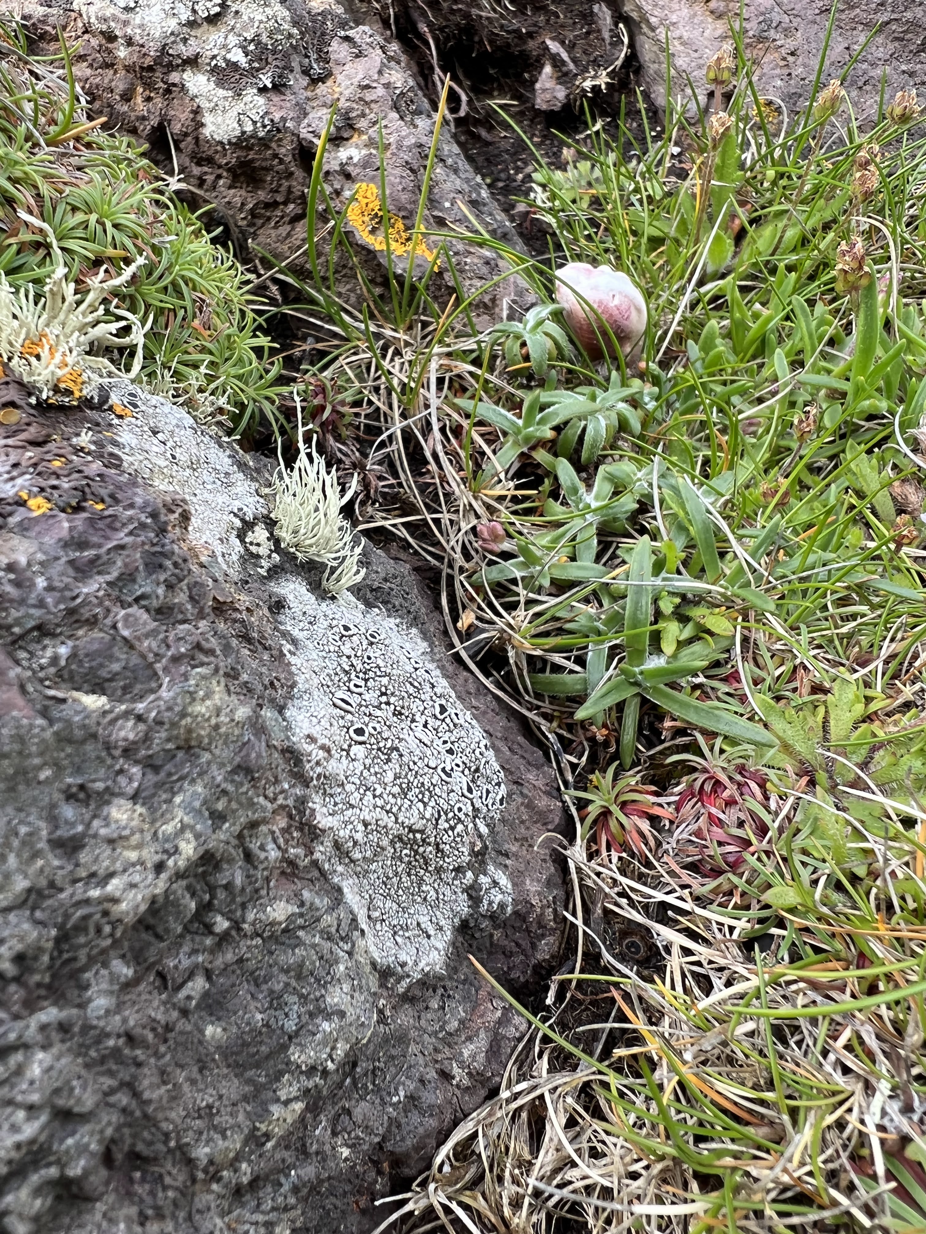
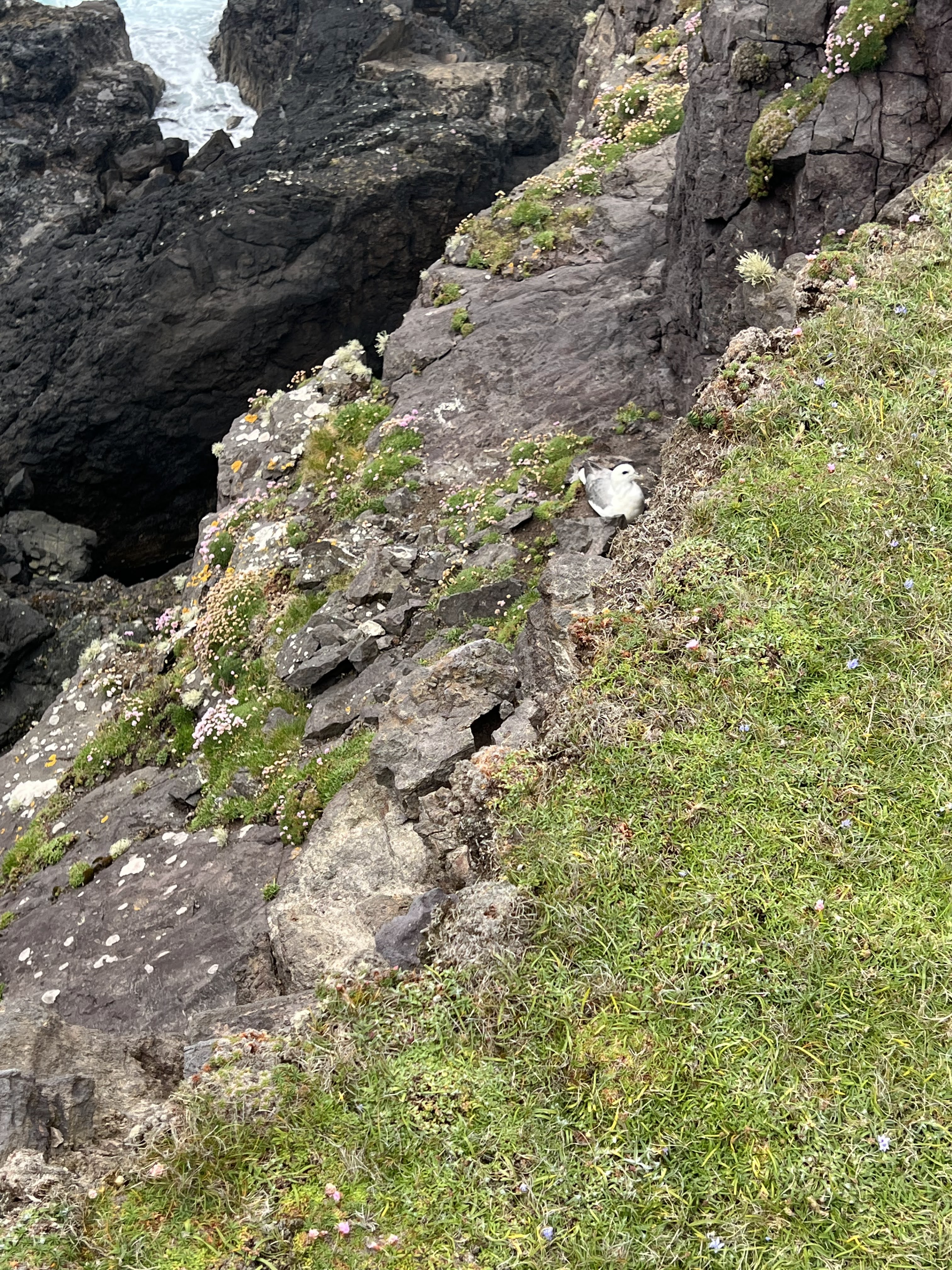
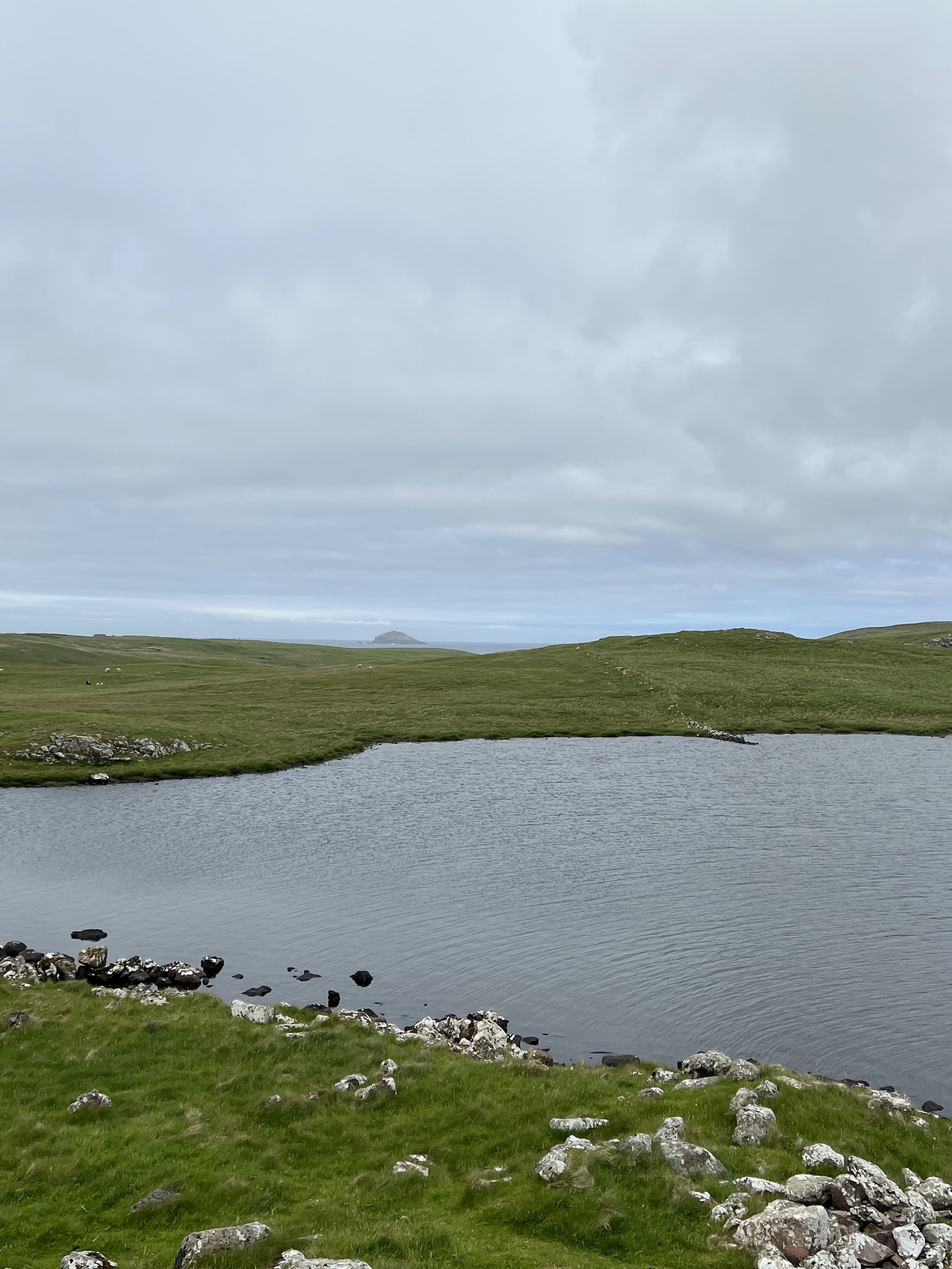
From here on, it’s photos and the occasional video with not much text. I stowed my hiking poles in the car, as it was obvious there was no elevation change on this walk. I loved skirting the edge of the cliffs, going out on some outcroppings to capture close-ups of the plants, flowers, mosses, lichens, and beautiful rocks. This was the easiest and one of the most dramatic landscapes of my trip. Simply stunning.
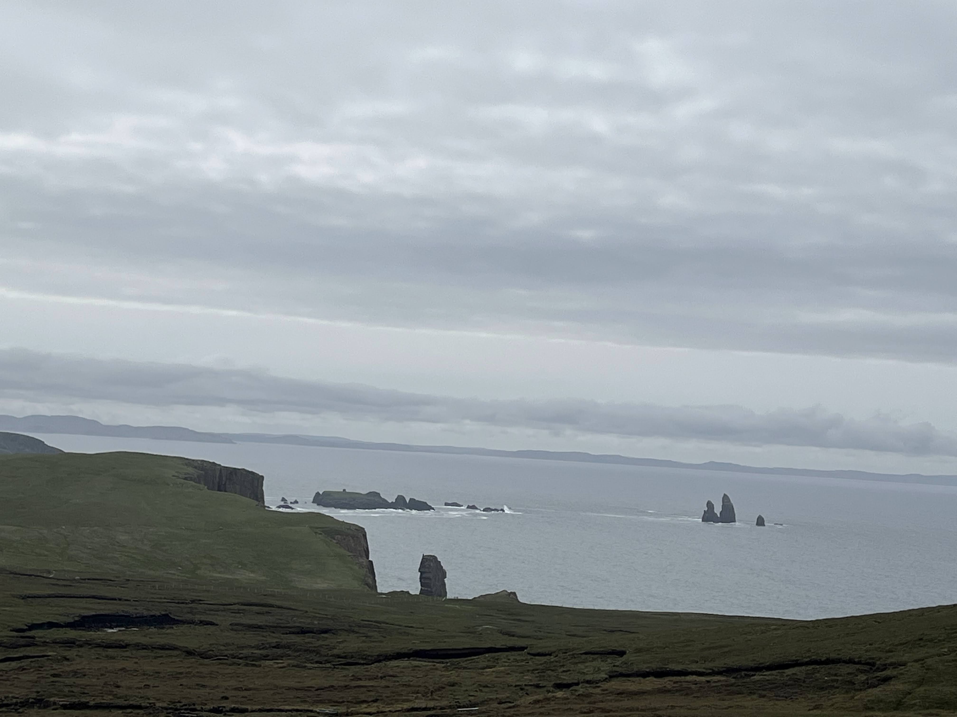
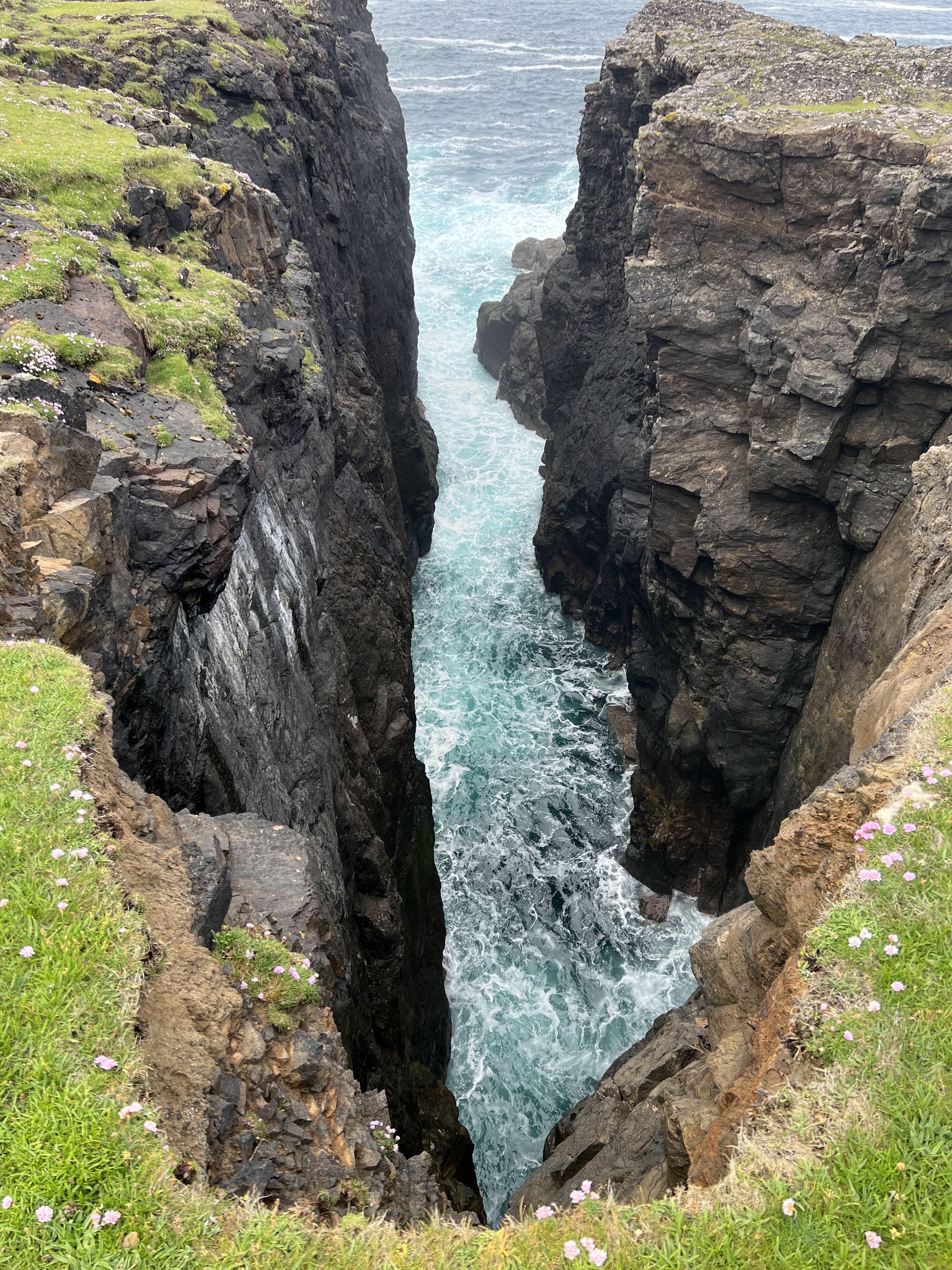
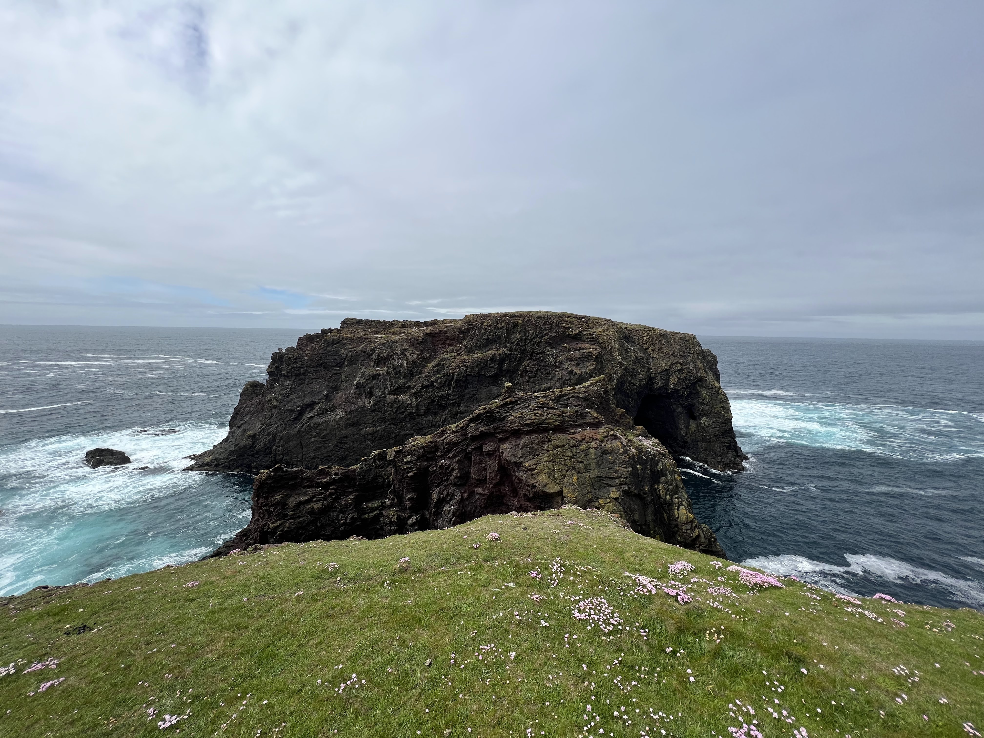
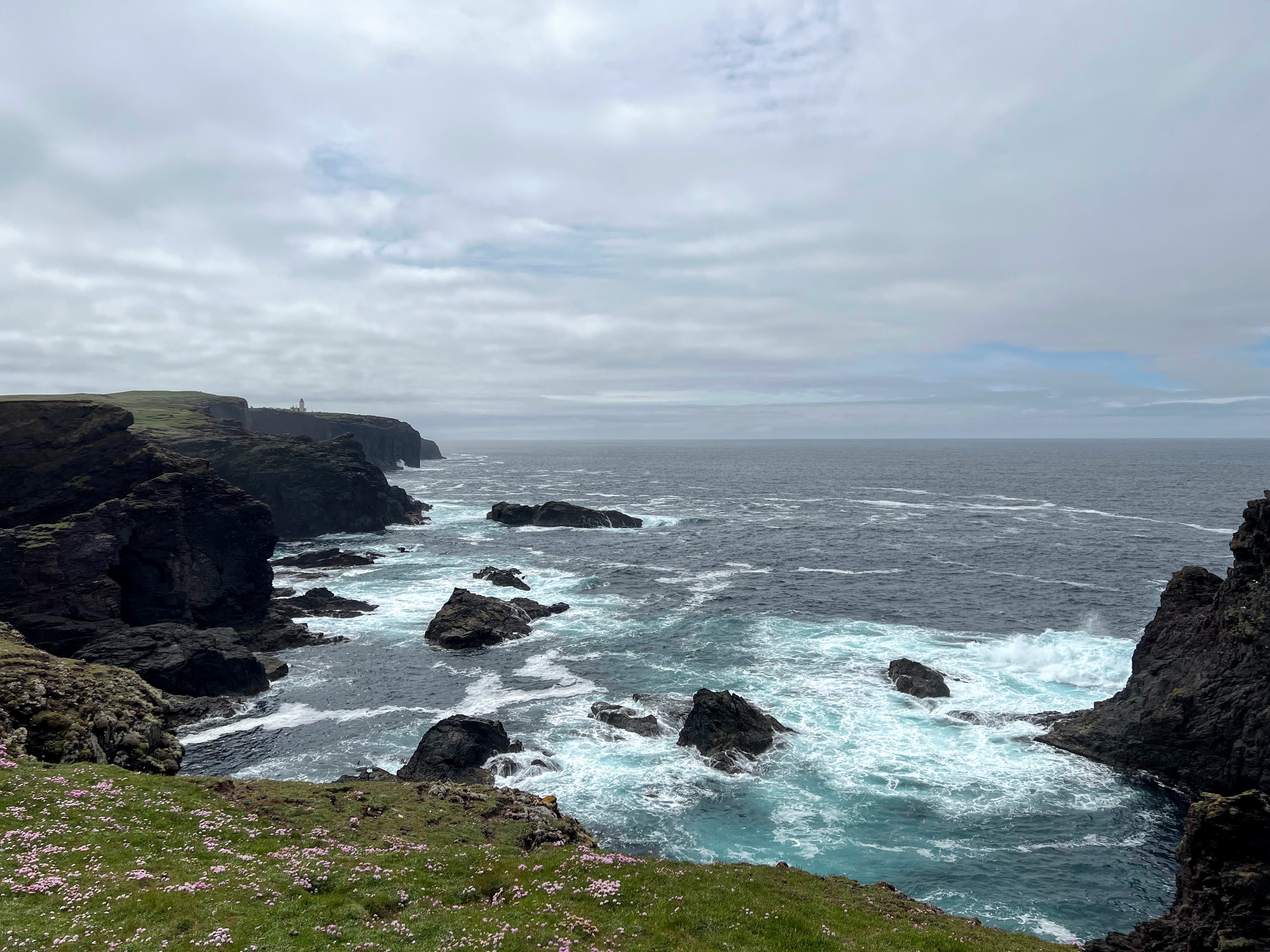
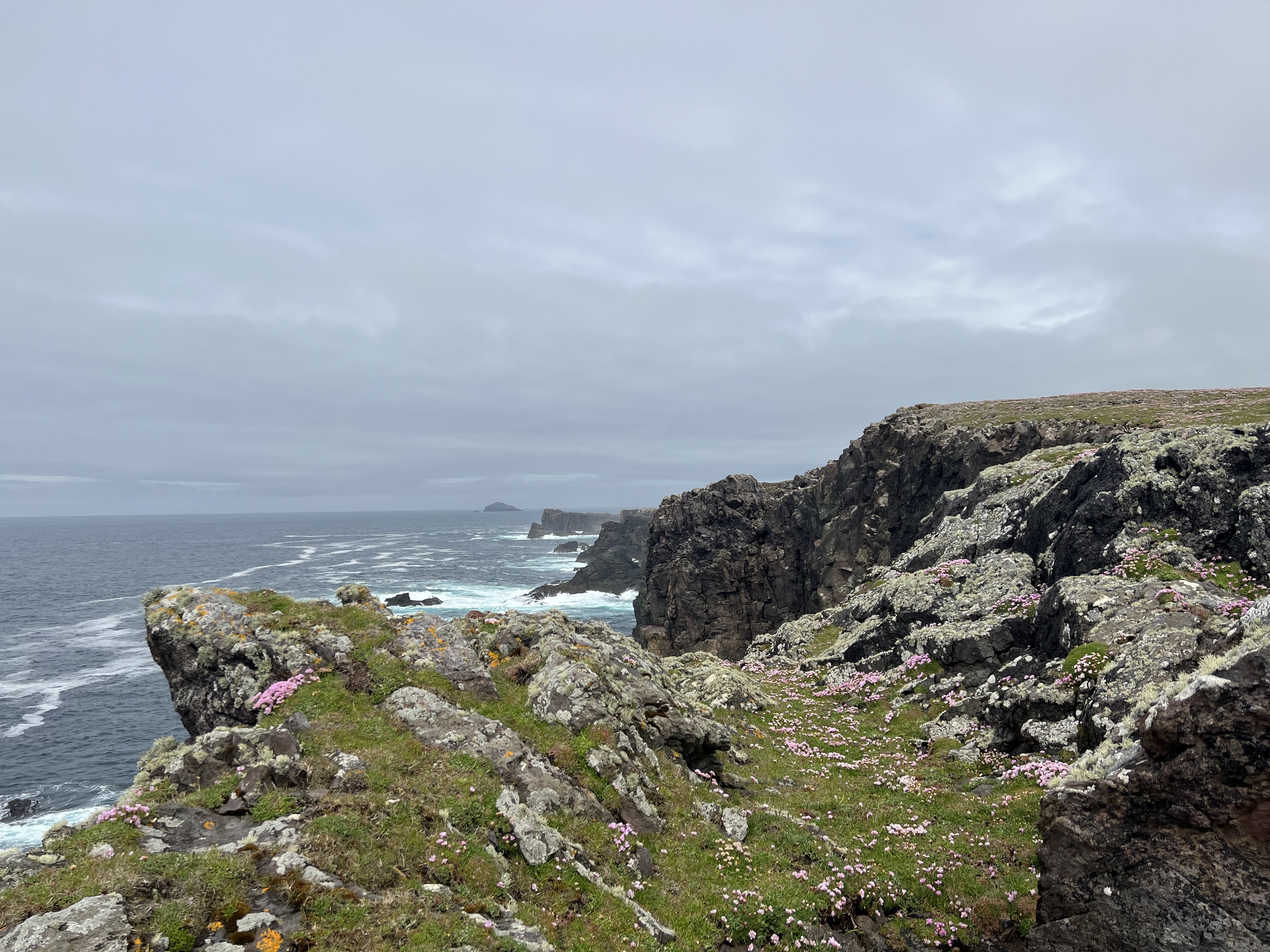
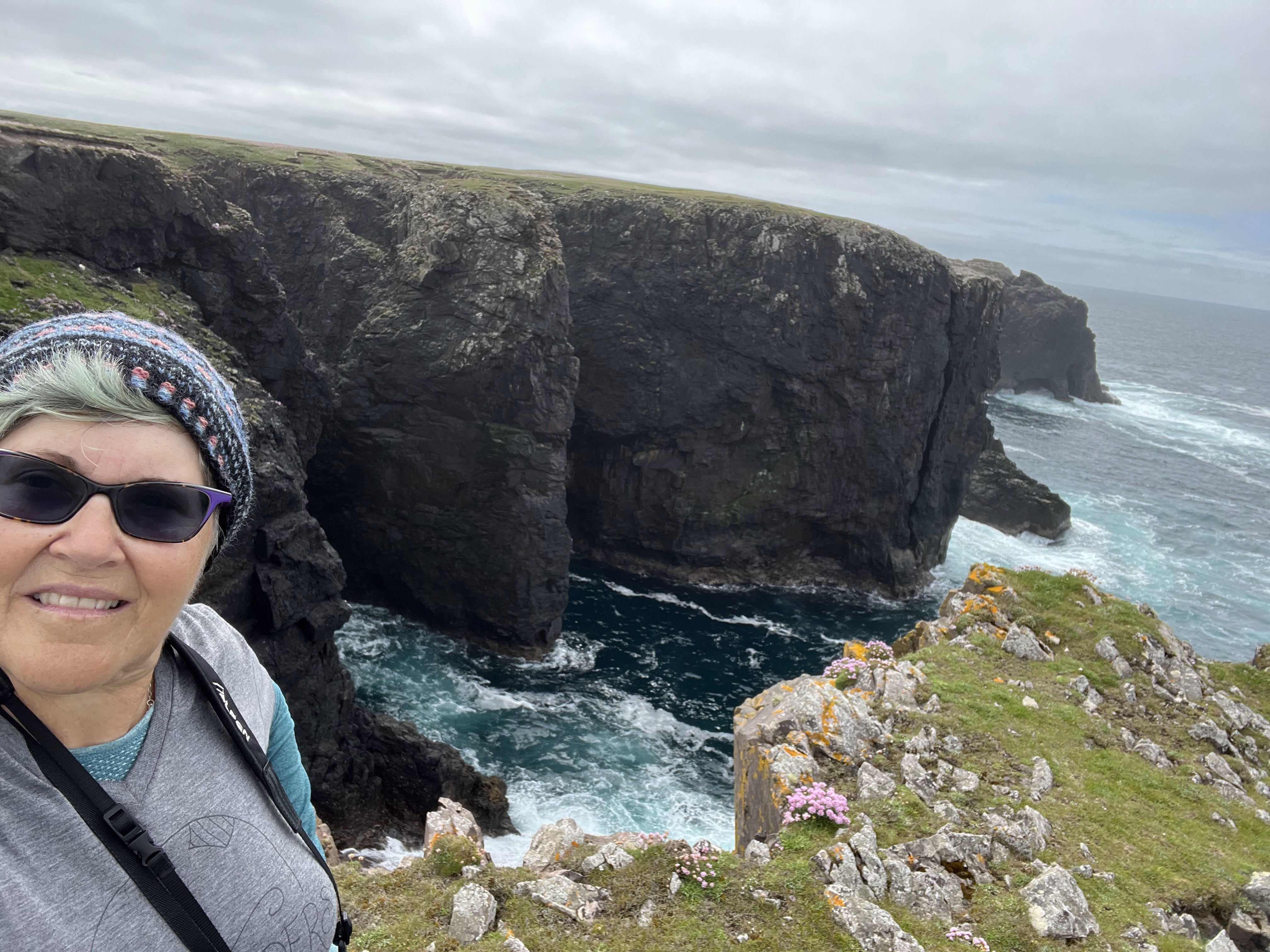
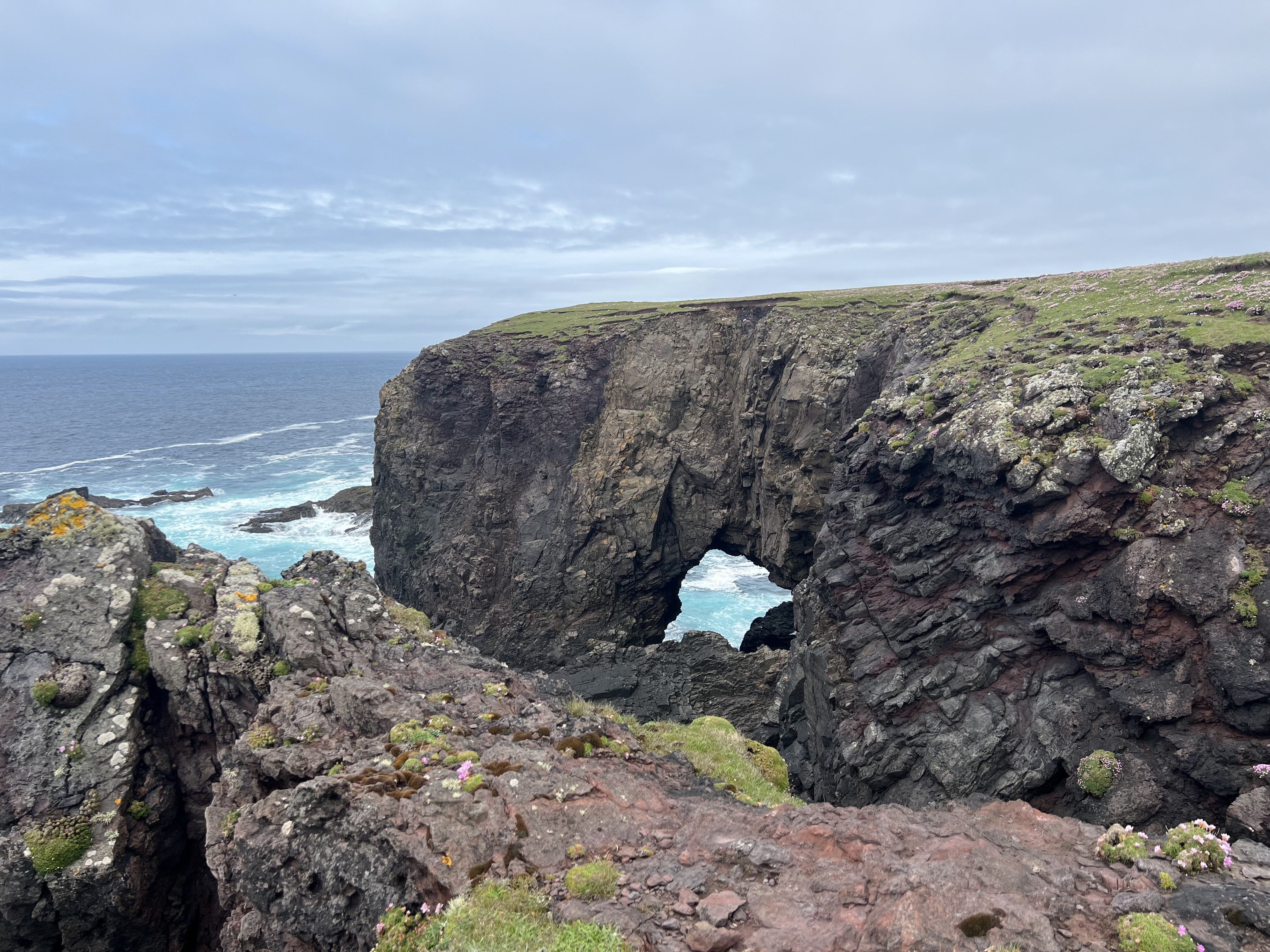
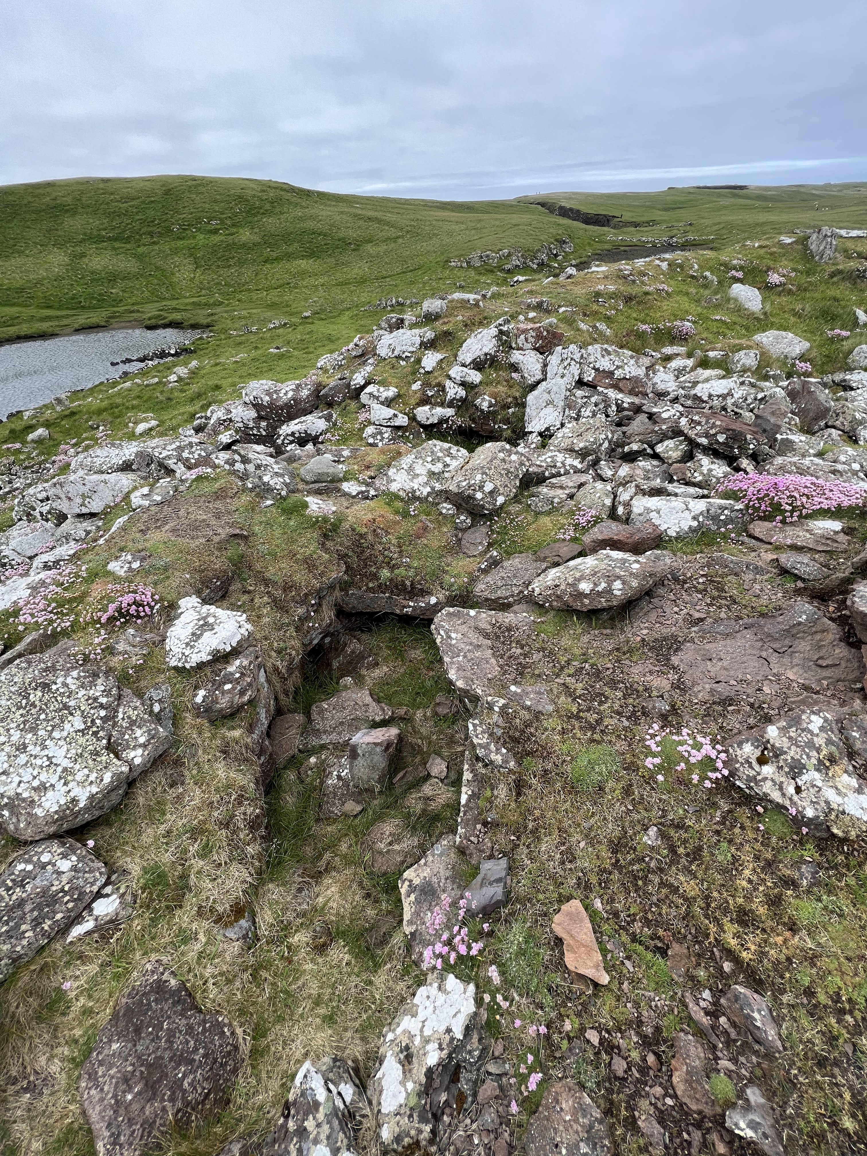
Lovely sea pinks everywhere.Always turn around and look back where you came from.A lone shag.Beautiful geo.And from a step back.But seriously. That ocean. It’s the North Atlantic on this side of Shetland. This feature is called — The Villains of Ure. Is that not the best?Look at that geology, would ya!One of many natural arches along this coastline.Another view of the arch, and Moo Stack There’s a whole smoll universe here!Closeup of sea pinks.Moo Stack.Looking back, again.Close up of Moo Stack natural arch and cave.
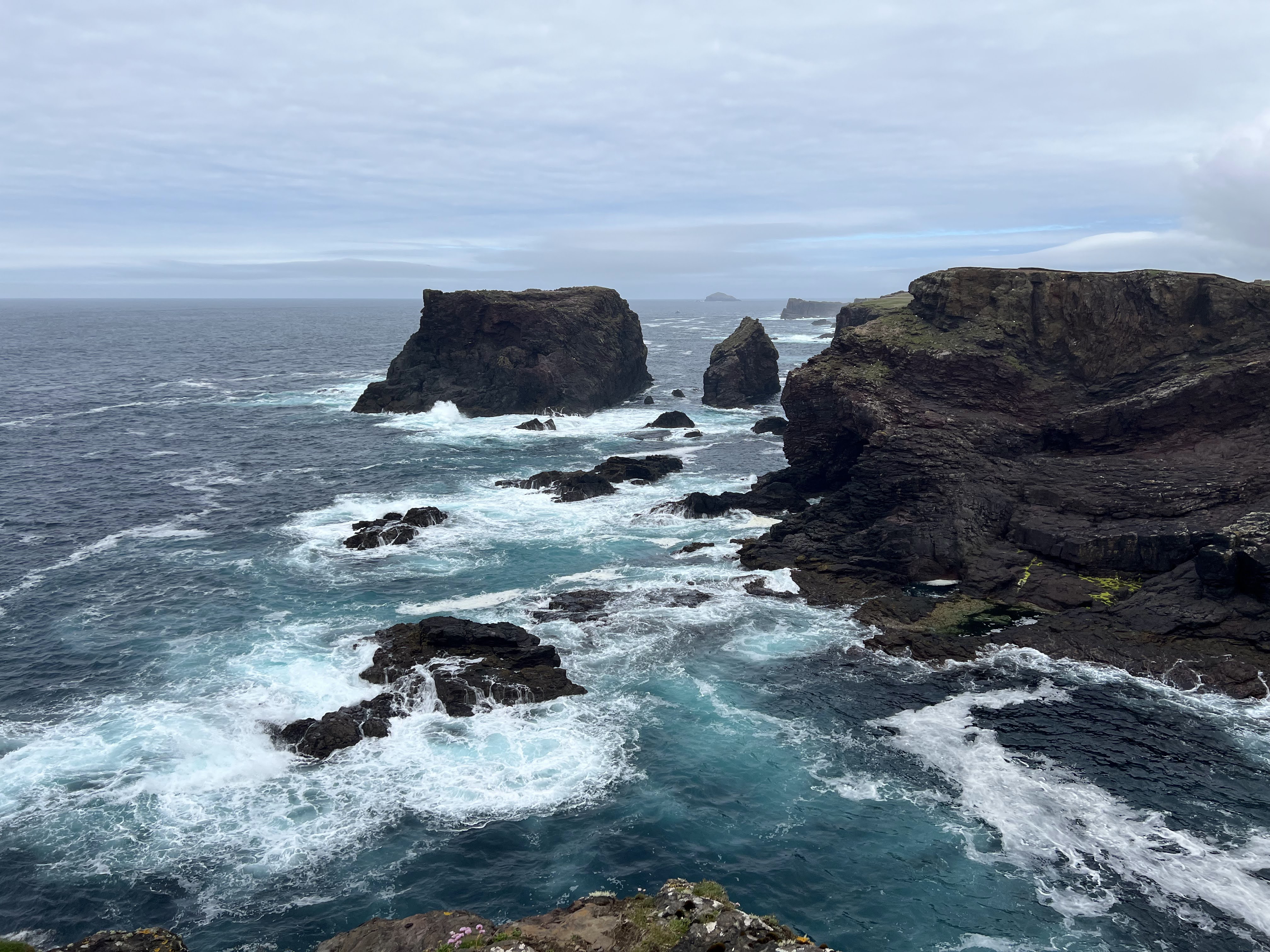
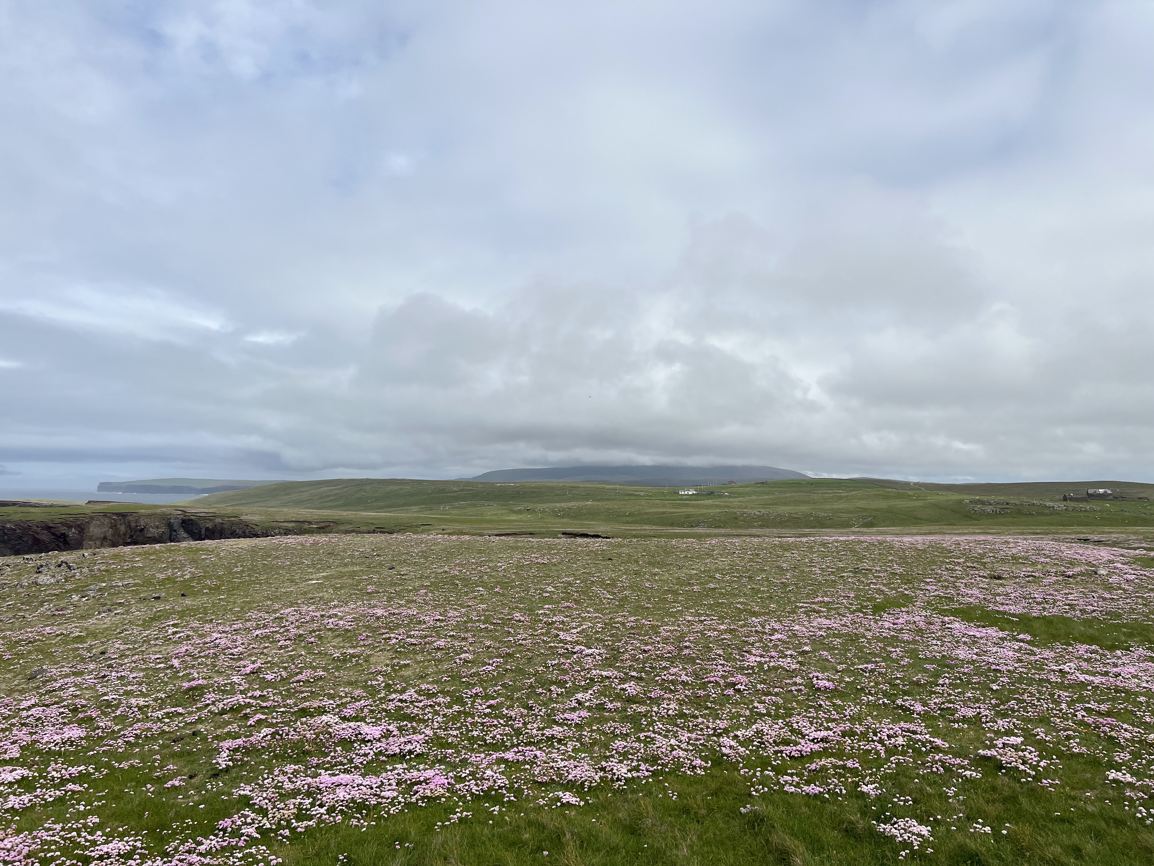
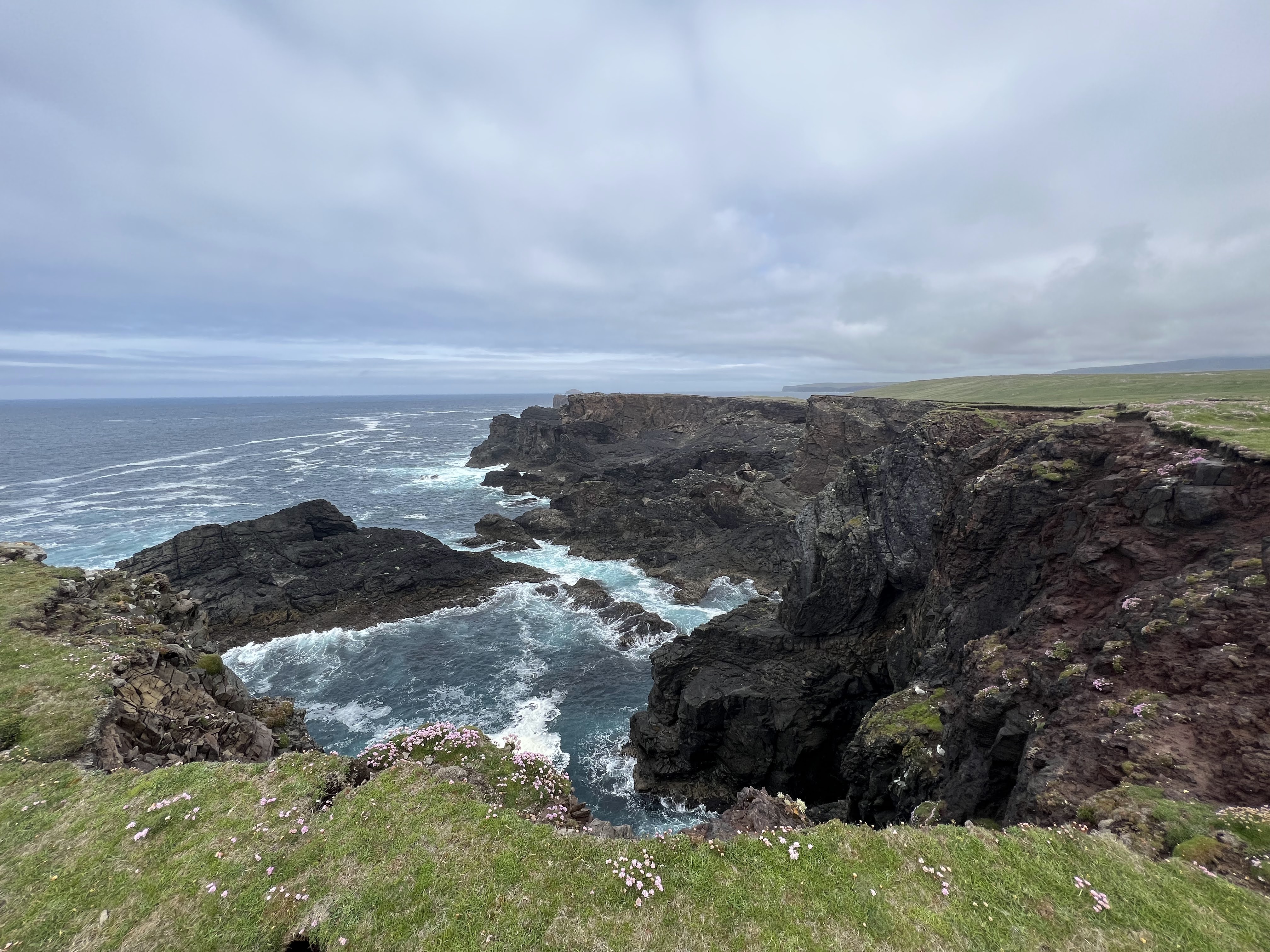
On up the coast. Gruna Stack in the distance.Distracted by tiny things again.Shags on the rocks. “You go.” “You first.” “No, really, you go.”A field of pink. Ronas Hill with its hat on in the far distance. The highest point in Northmavine, which is what this entire region of Shetland is called.
It’s highly inadvisable to be walking along looking at your phone or otherwise daydreaming. What is that ahead?
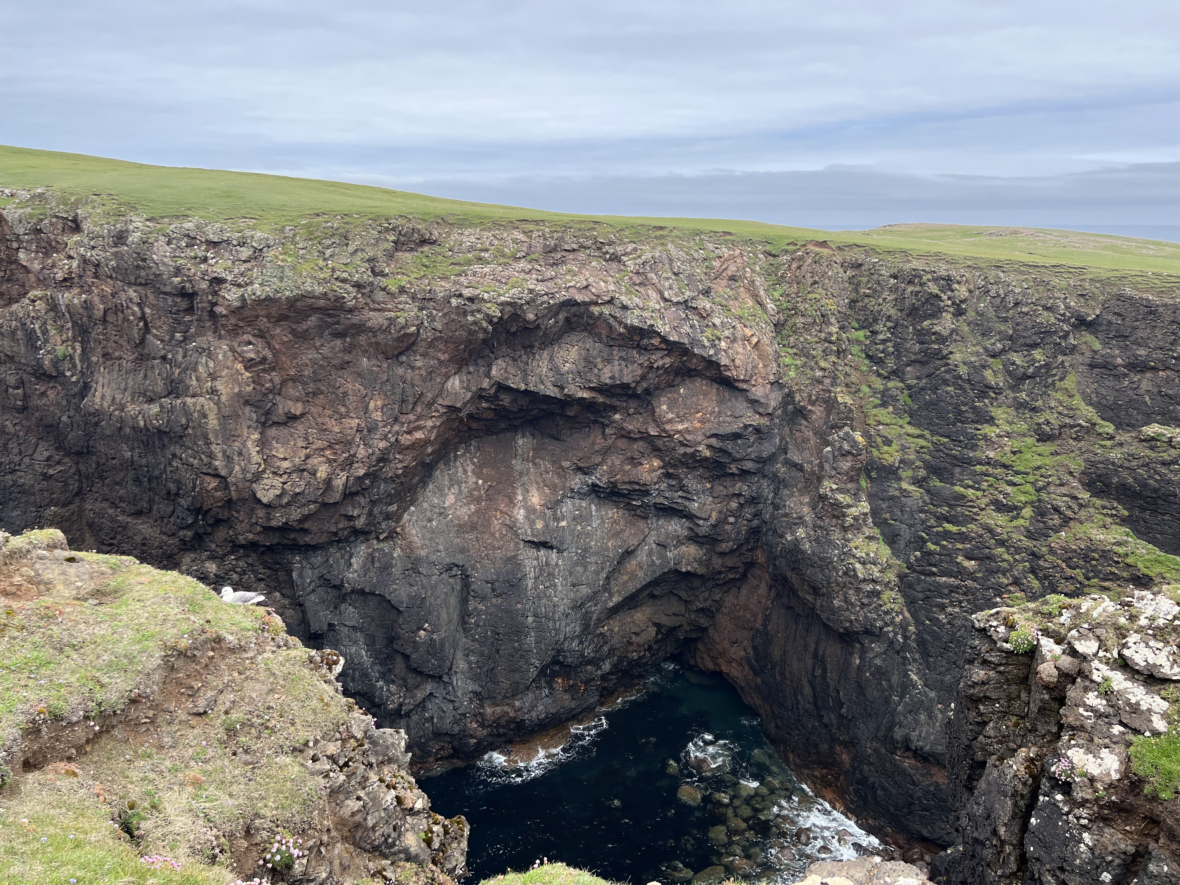
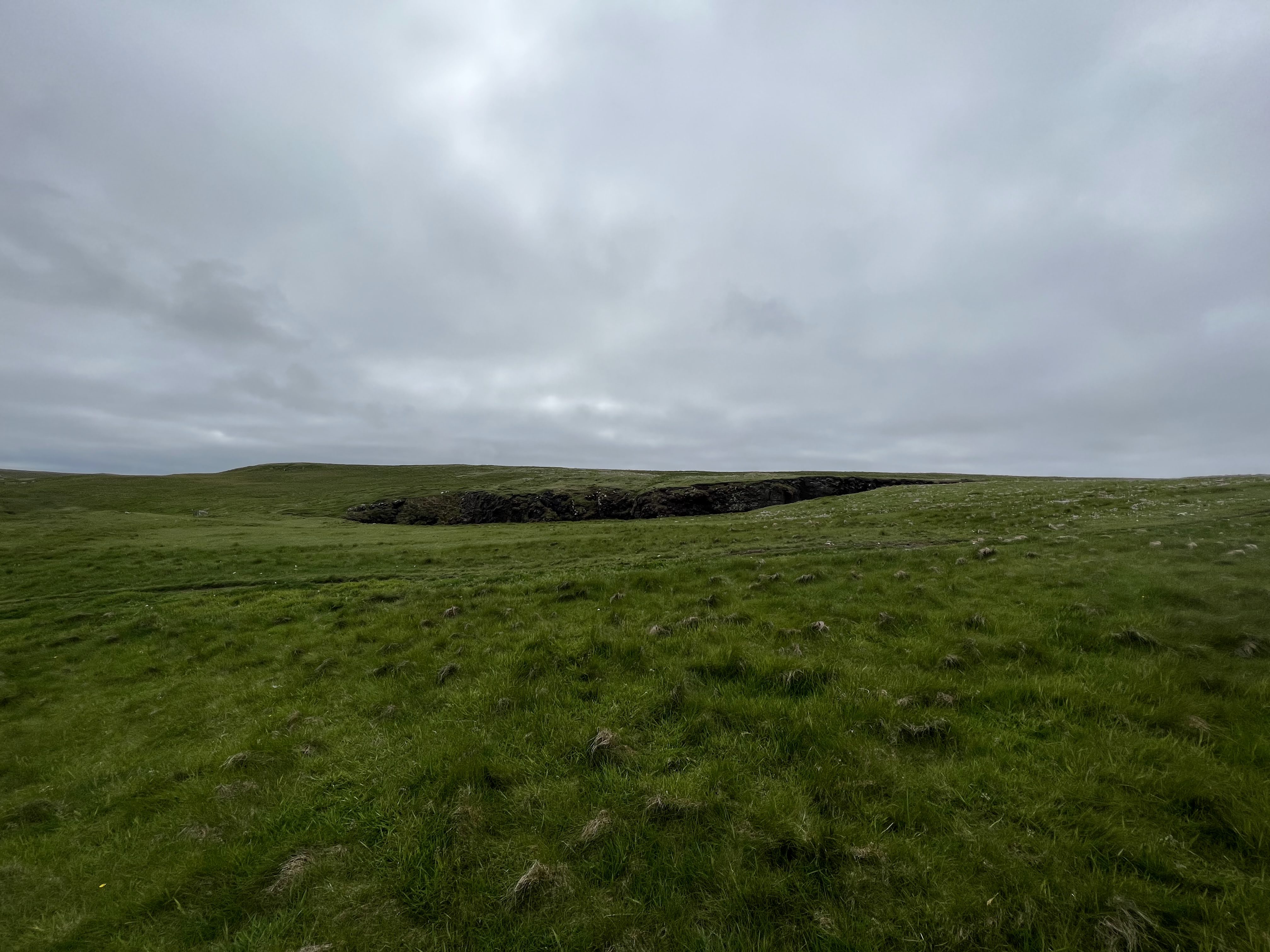
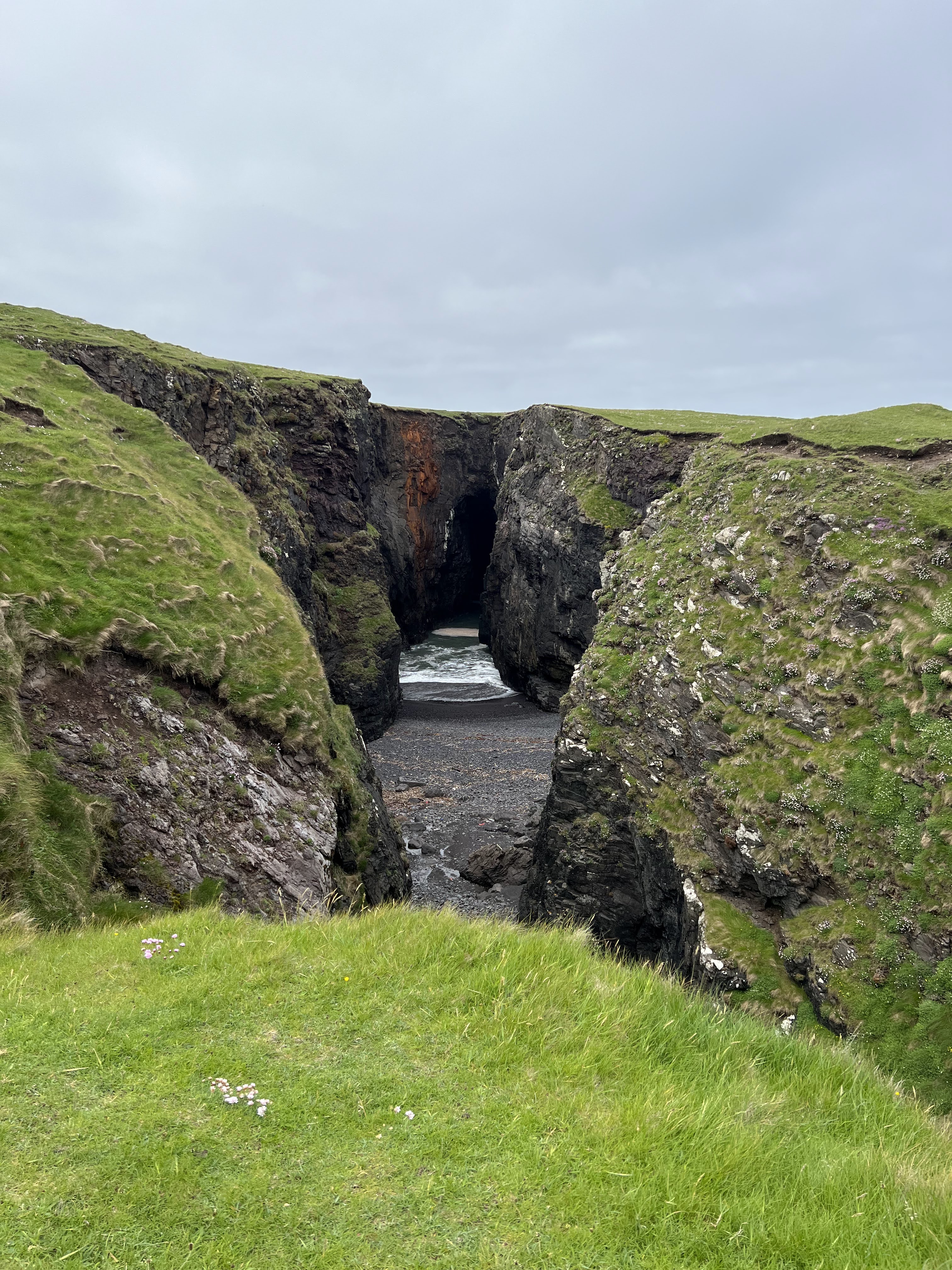
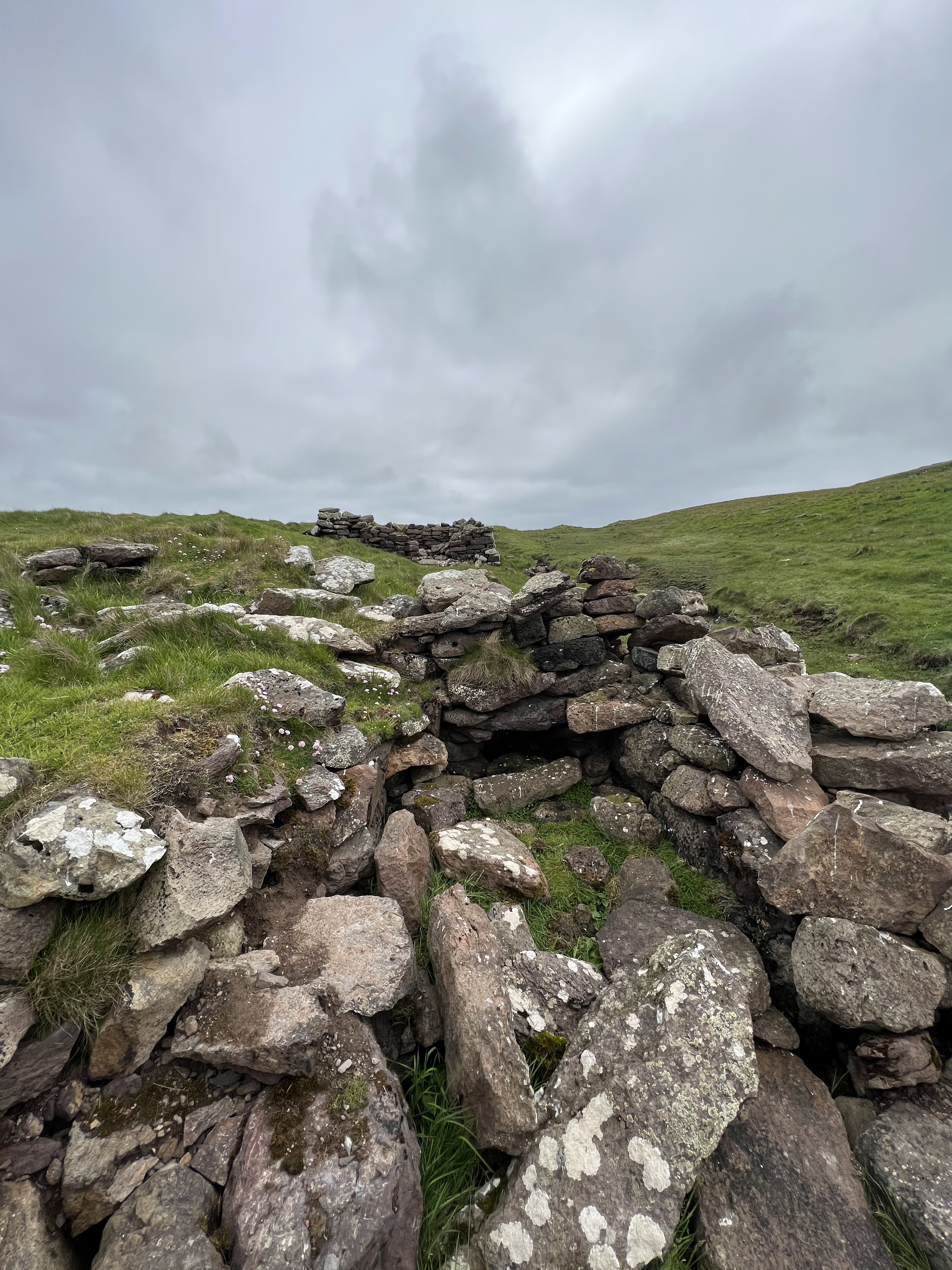
Holes of Scraada, on approach.
Holes of Scraada are the fallen-in bits of of an underground passageway. An inland beach, if you will.
Holes of Scraada, up close!
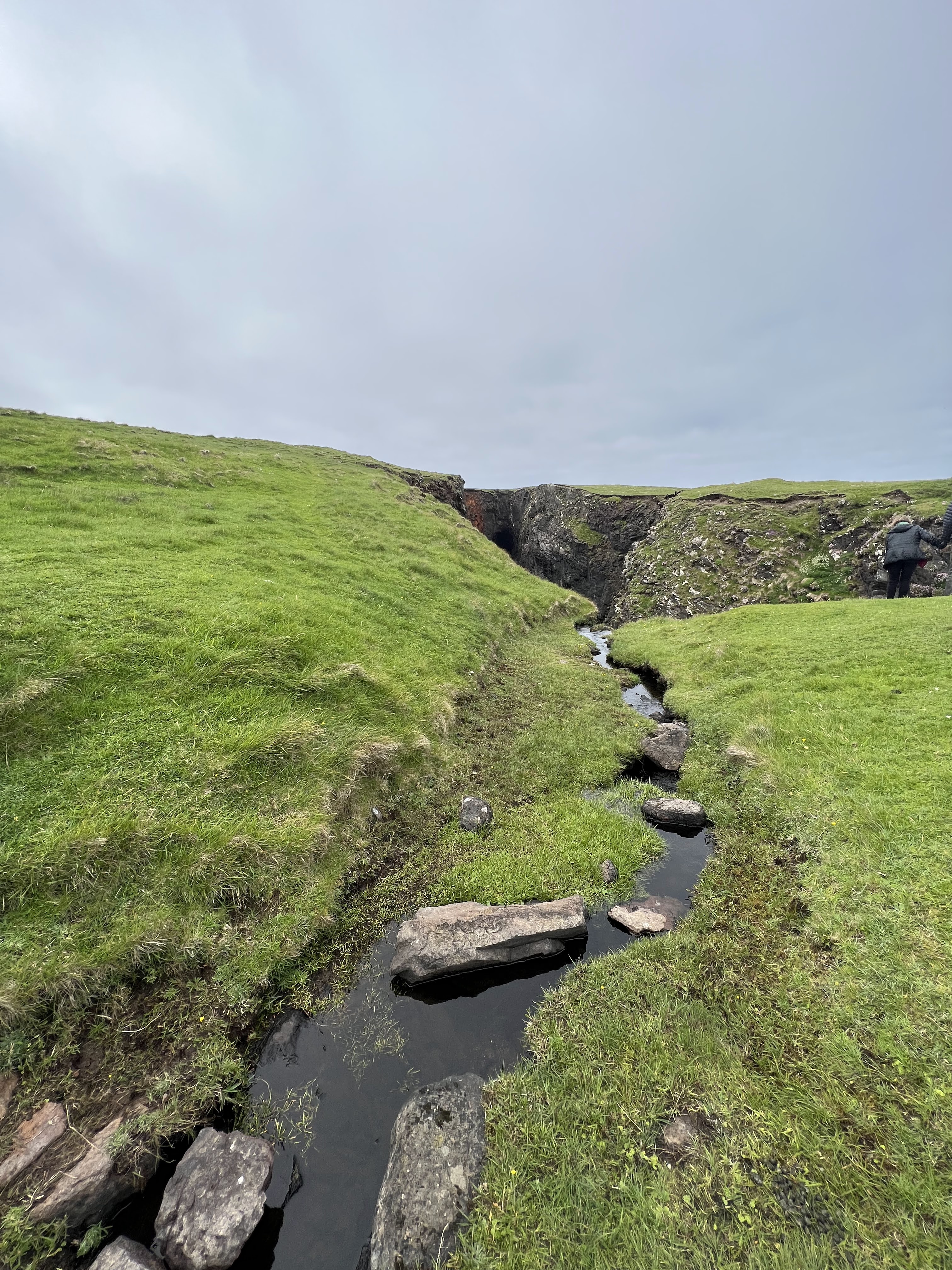
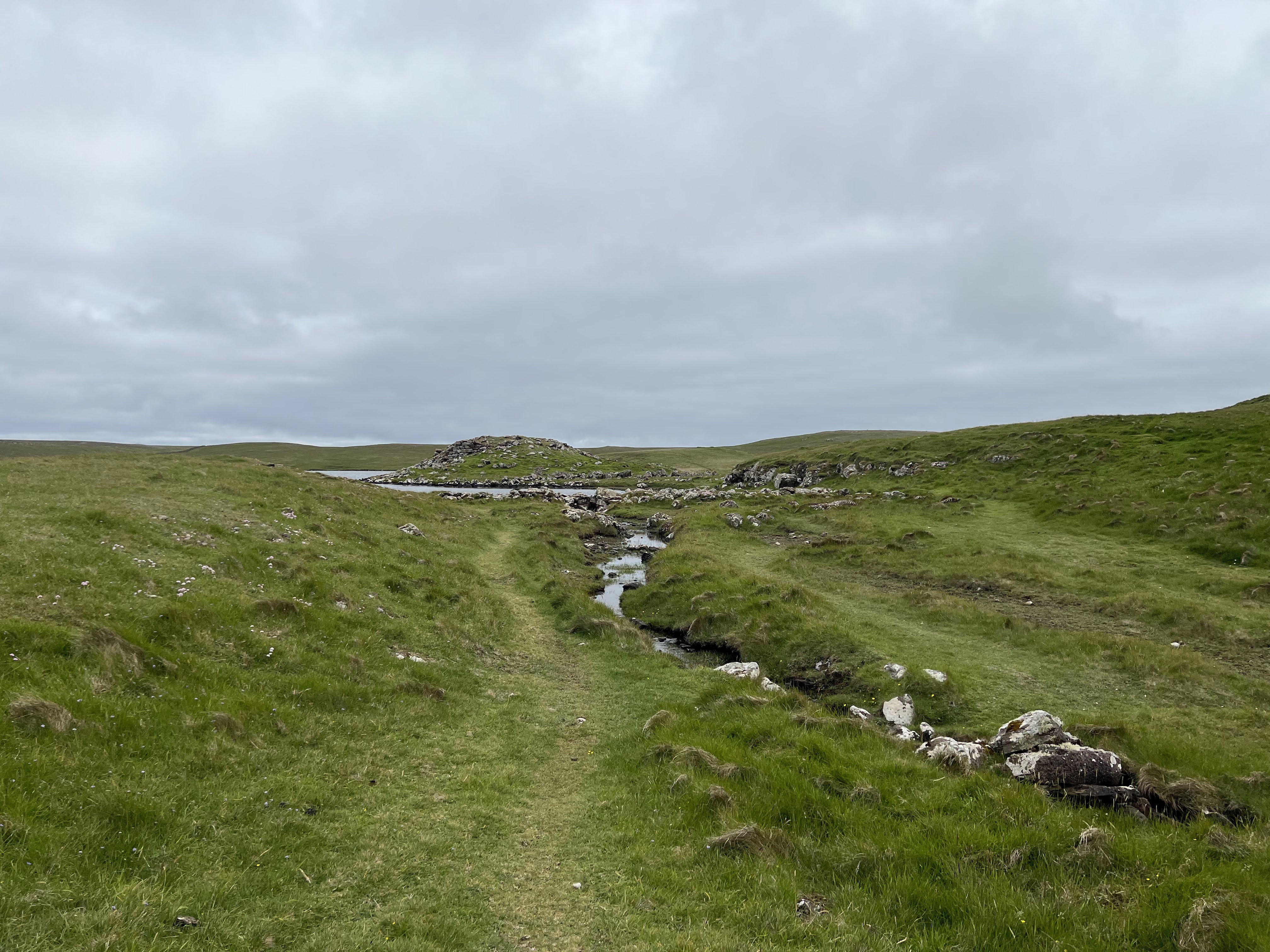
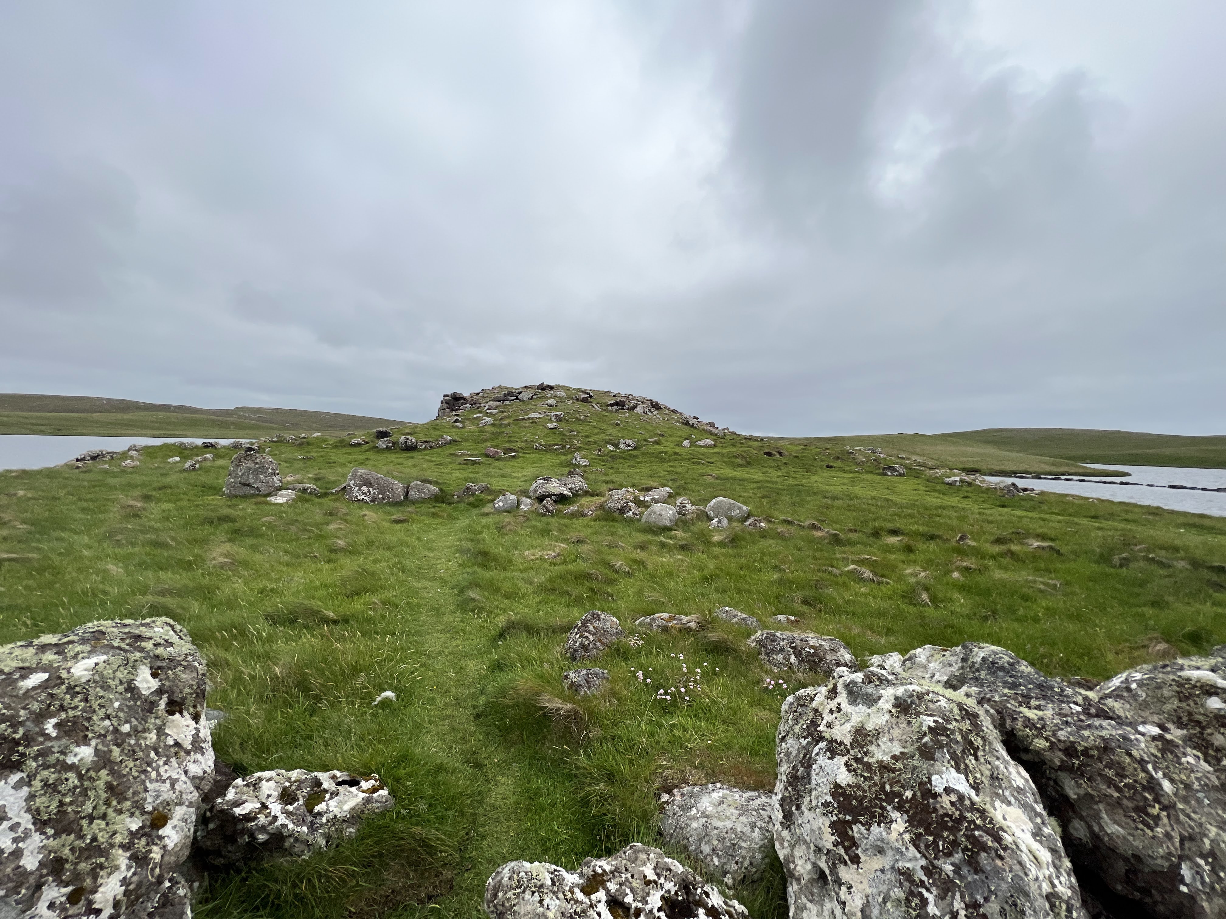
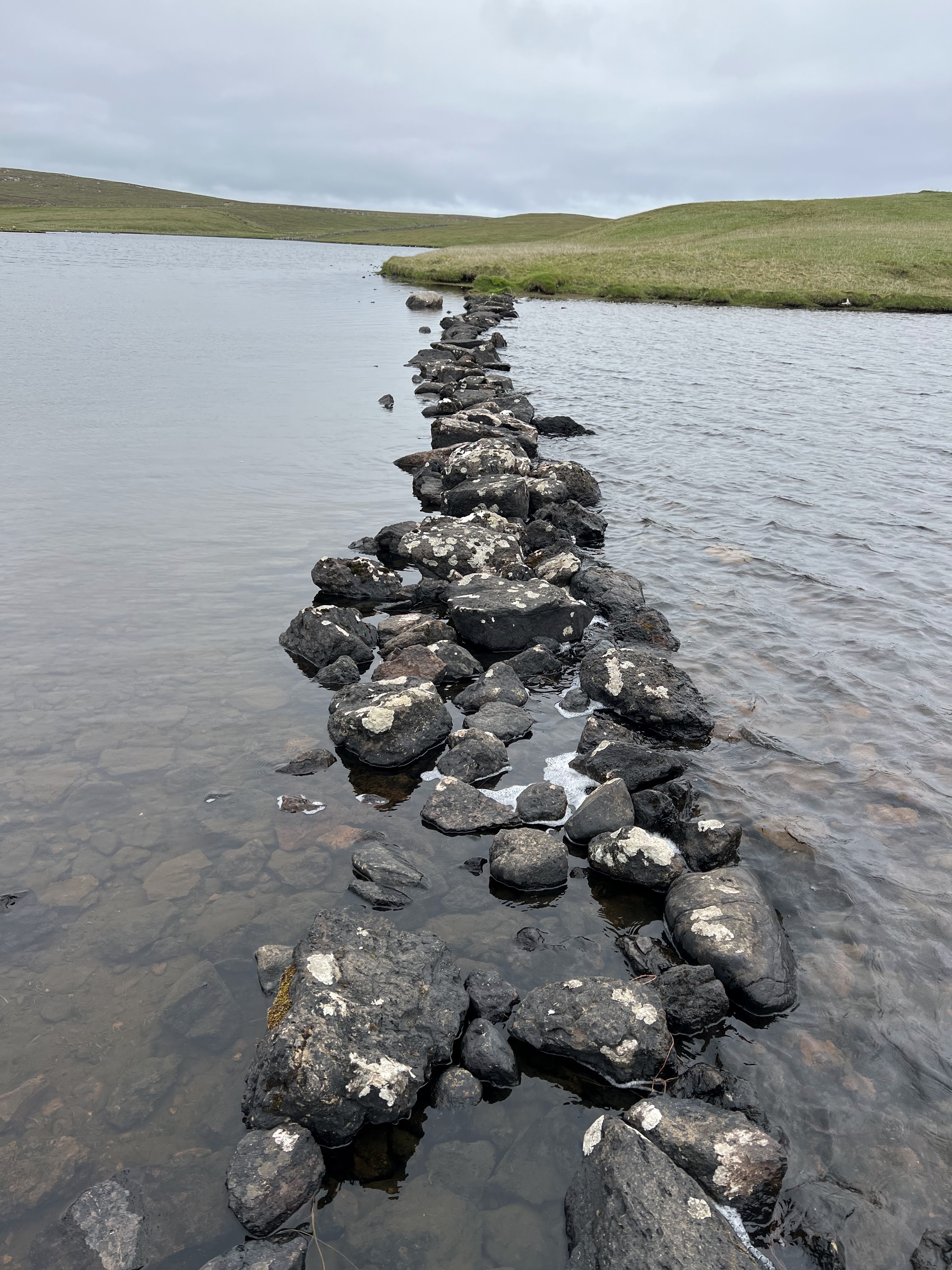
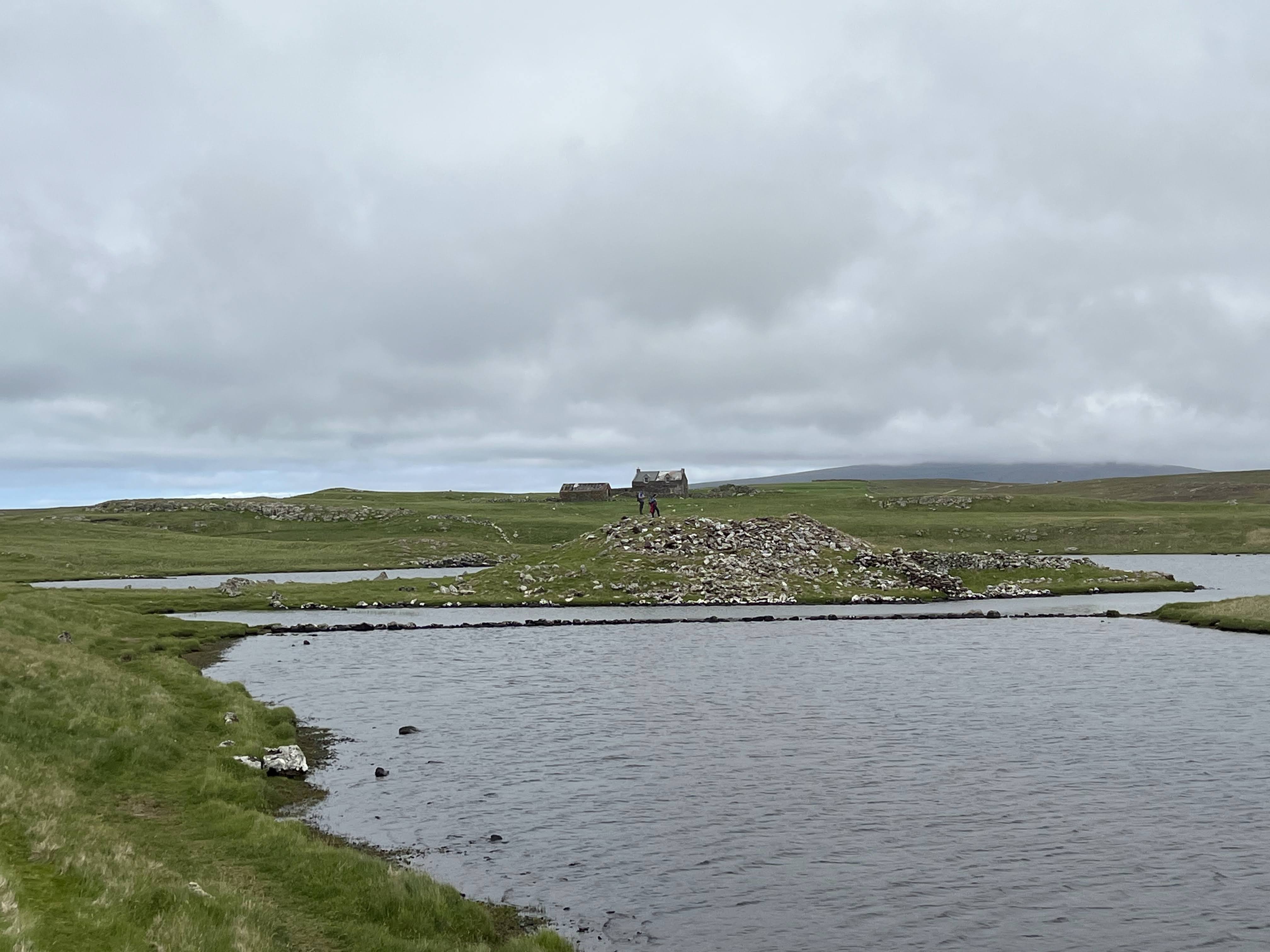
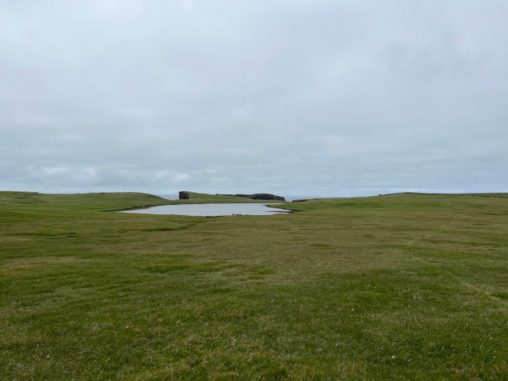
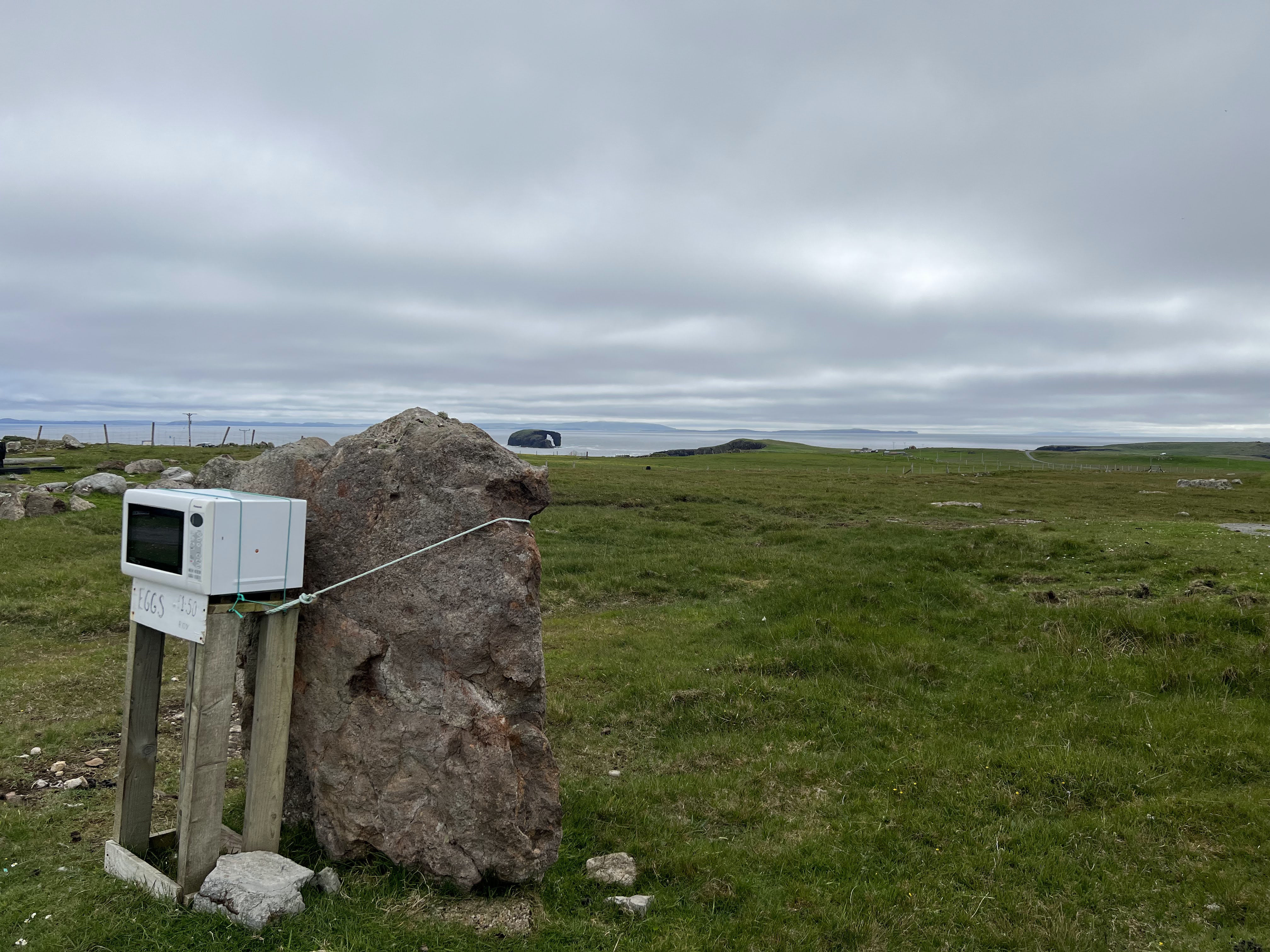
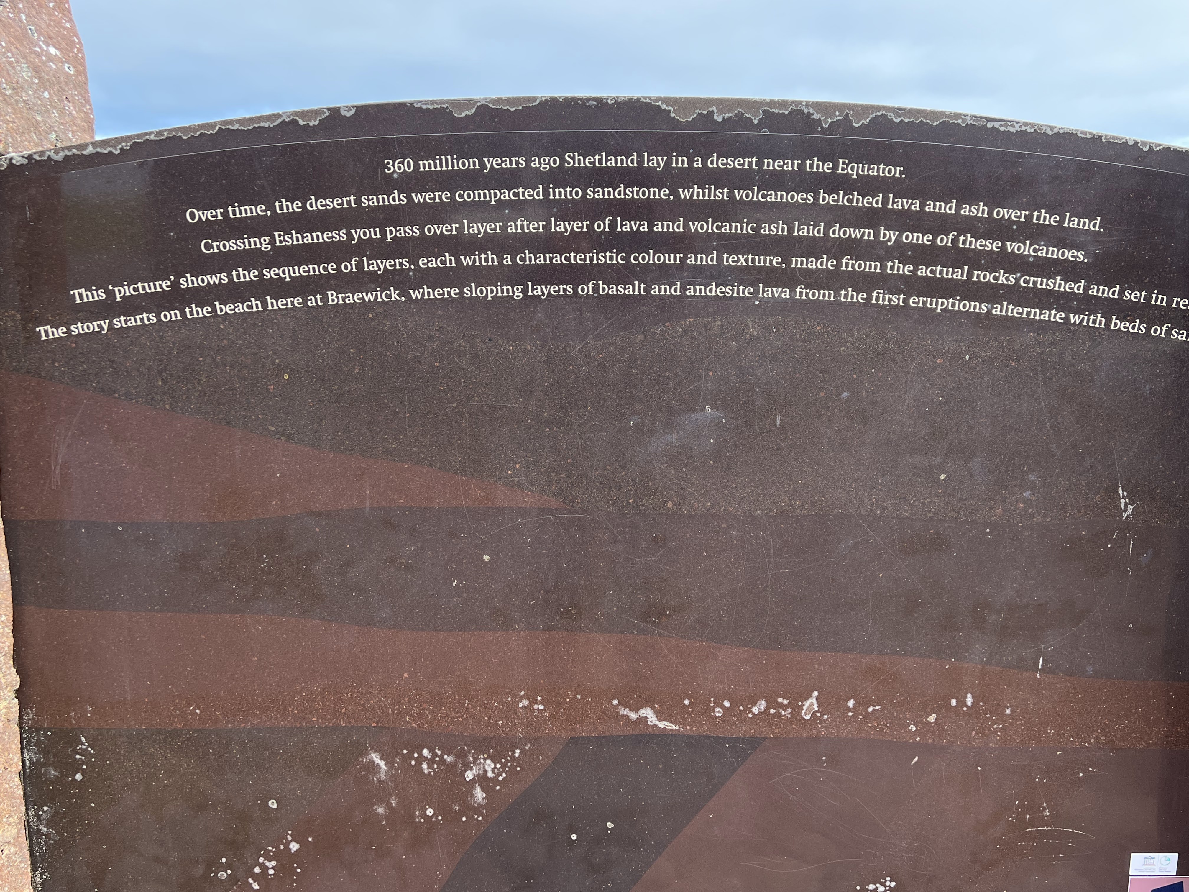
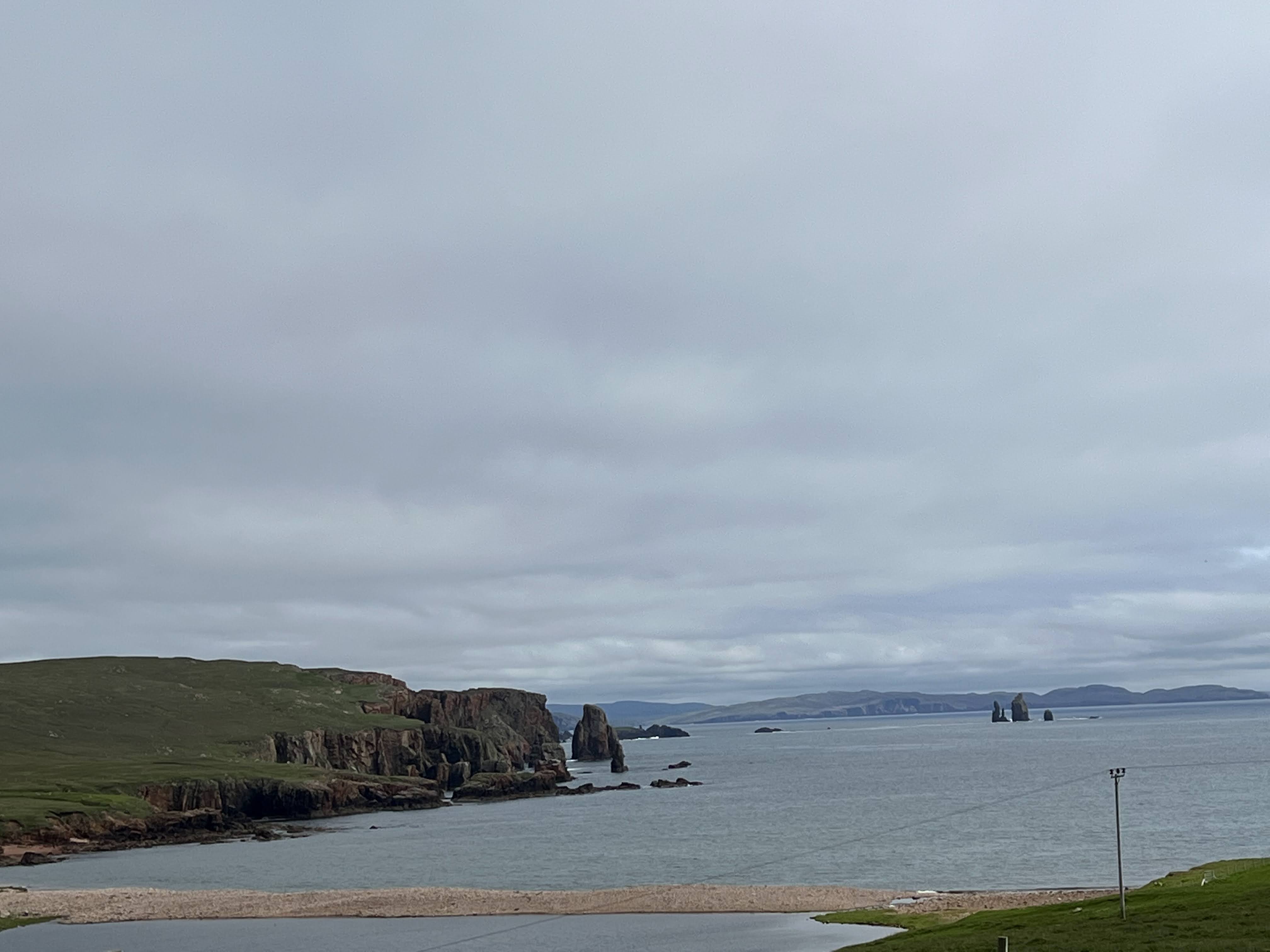
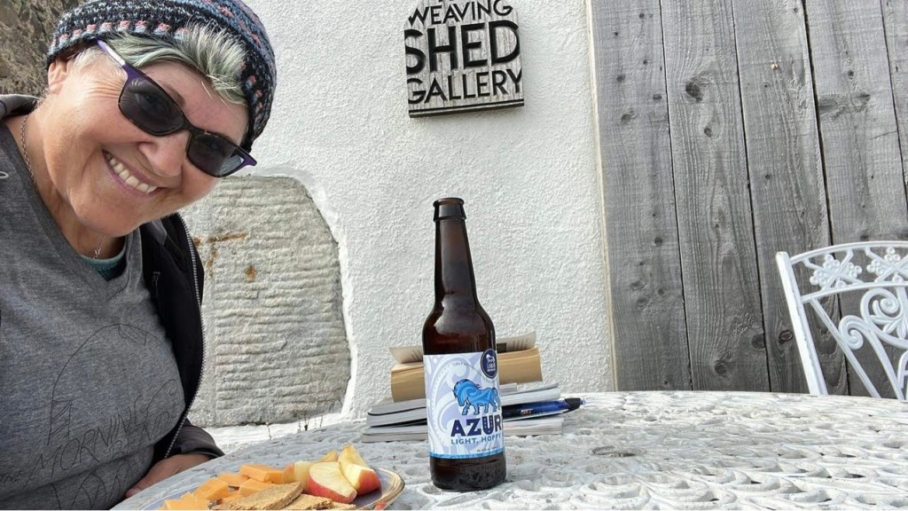
And lo! A ruined broch!View from the broch.Gruna Stack in the distanceAtop the broch.Its former entryway.Stepping stone bridge to the tiny island. I didn’t have my poles with me, so I didn’t cross it. Sad trombone.Looking back at the broch, with an old farmhouse in the background.My circuit was about done, walking back toward Calder Geo.One last walk along the geo cliffs.I love Shetlanders. This honesty box is the best, roped to a standing stone! Dore Holm in the background.Dore Holm in close-up.A geology lesson, with The Runk and The Drongs in the background. The Runk and The Drongs, sand bar in the foregroundNighttime snack, 9:15 PM. My just desserts for a fine day of seeing the best of Shetland.
One response to “50. Day 18 in Shetland: The Awesome Beauty of Eshaness”
Arthur Threlfall Searson
Stumbled across this travelogue and adore the Shetland section. I was stationed in Shetland at Collafirth Hill NATO station (long gone). Sorry you didn’t do Ronas Hill – a great walk. Eshaness was my favourite place, just a few minutes’ drive from Urafirth, where our houses were. Thanks for the memories..


Leave a comment