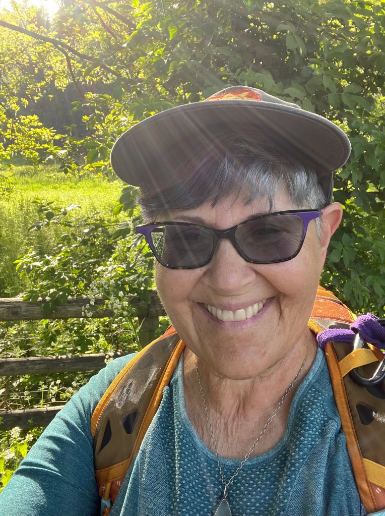
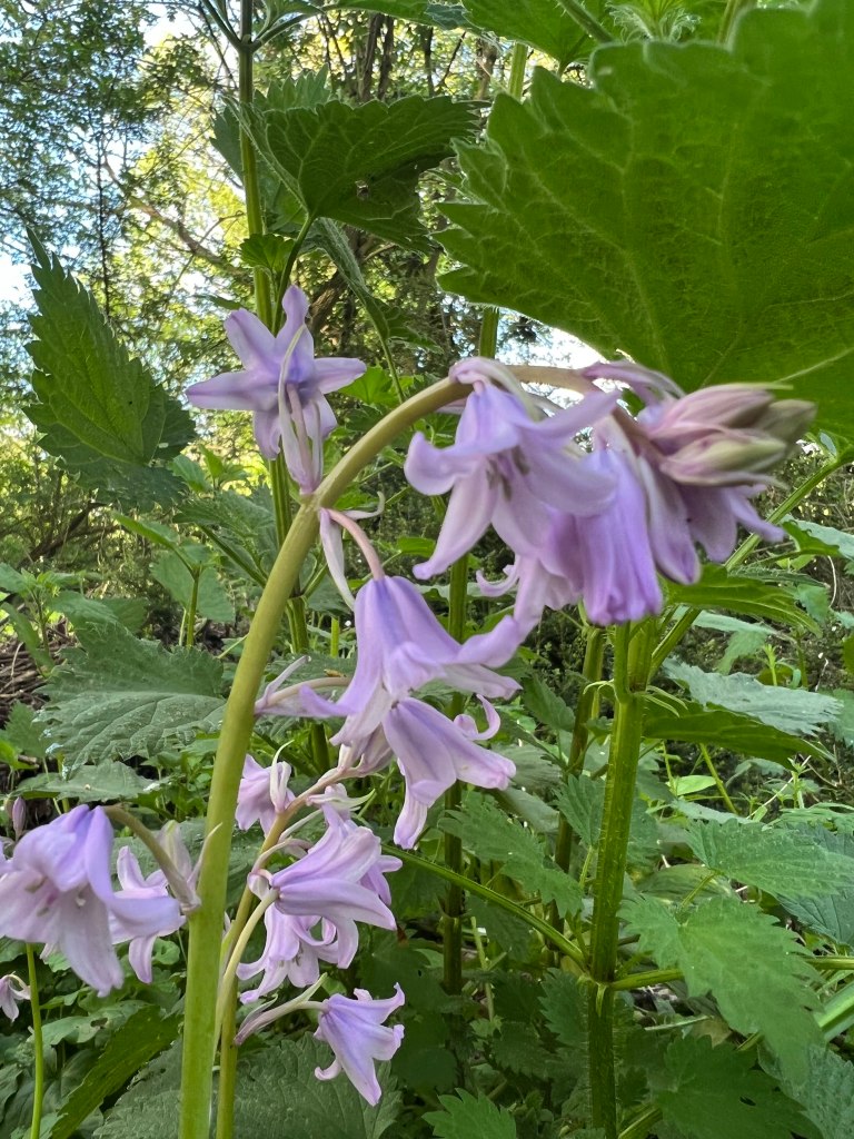
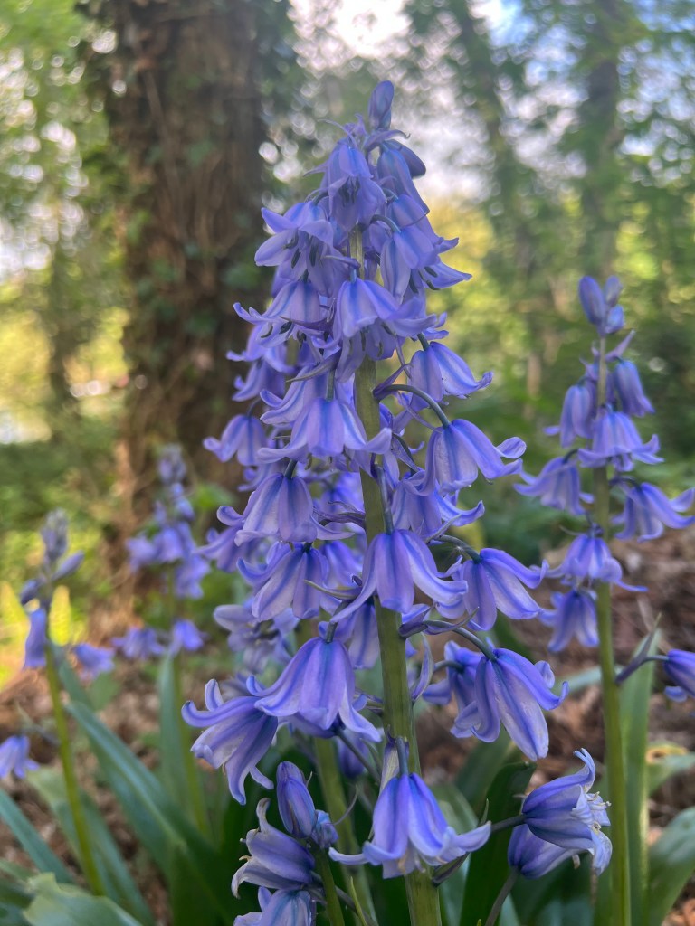
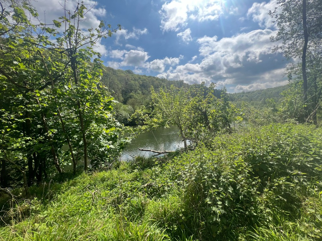
I took the Peregrine Path from Monmouth to Symonds Yat instead of the Wye Valley Walk, as I’d heard there was a closure on the WVW. The walk was level and sedate, paved most of the way (could have worn my Allbirds), no challenges at all. Met lovely folks along the way, a couple of whom I saw later at the Royal Lodge, where I stayed for the night.
The way out of Monmouth was on a regular street, so there was traffic to deal with, but not too much. The path marking wasn’t great at the start, so I was very grateful for my OS Maps app.


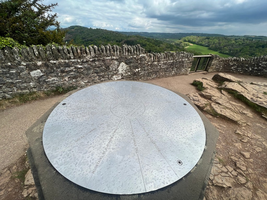
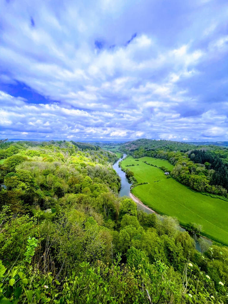
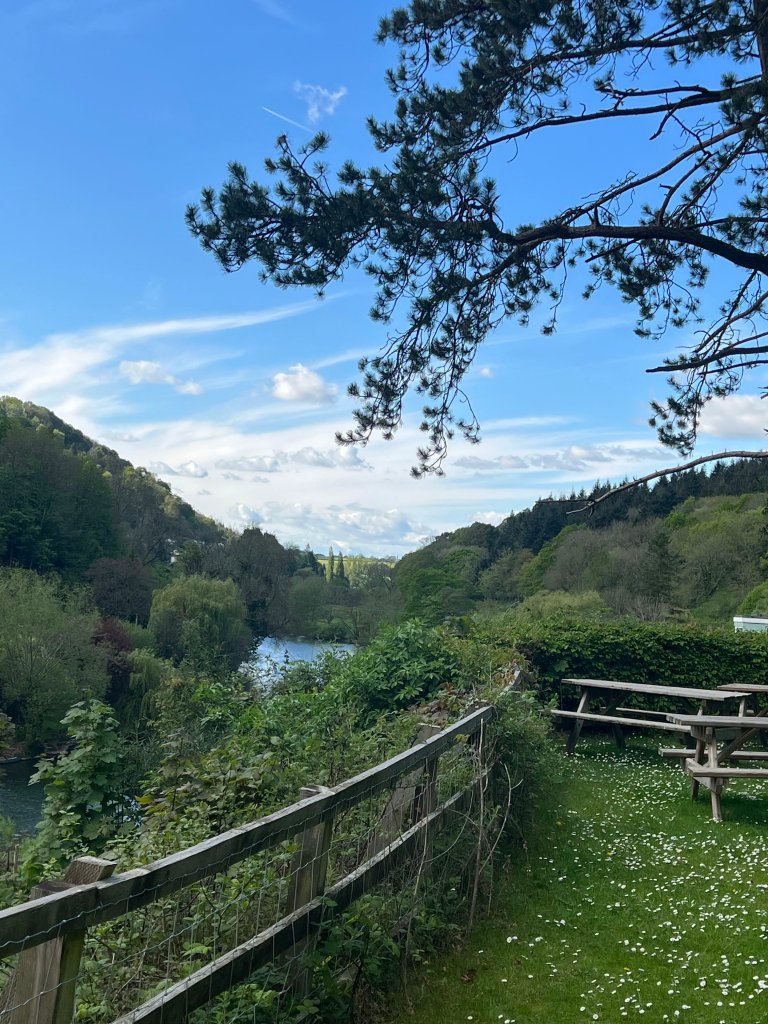
I achieved Symonds Yat without much effort, so I had plenty of energy left for the climb to Yat Rock, on a path right behind my hotel. I had some energy in reserve, so thought I’d just go for it and have lunch at The Saracen’s Head afterwards, as a reward. I’m quite big on rewarding myself, in case that’s gone unnoticed.
Yat Rock only 1/2 mile. But emphatically vertical. I was dreading it, but it had to be done. I did climb a bit past the path, up a roughly paved road that was super slippery (thanks to a little rain shower) and steep. I realized something was not-right, and almost fell a couple of times finding my way back to the correct path. So yay me, I got some EXTRA elevation!


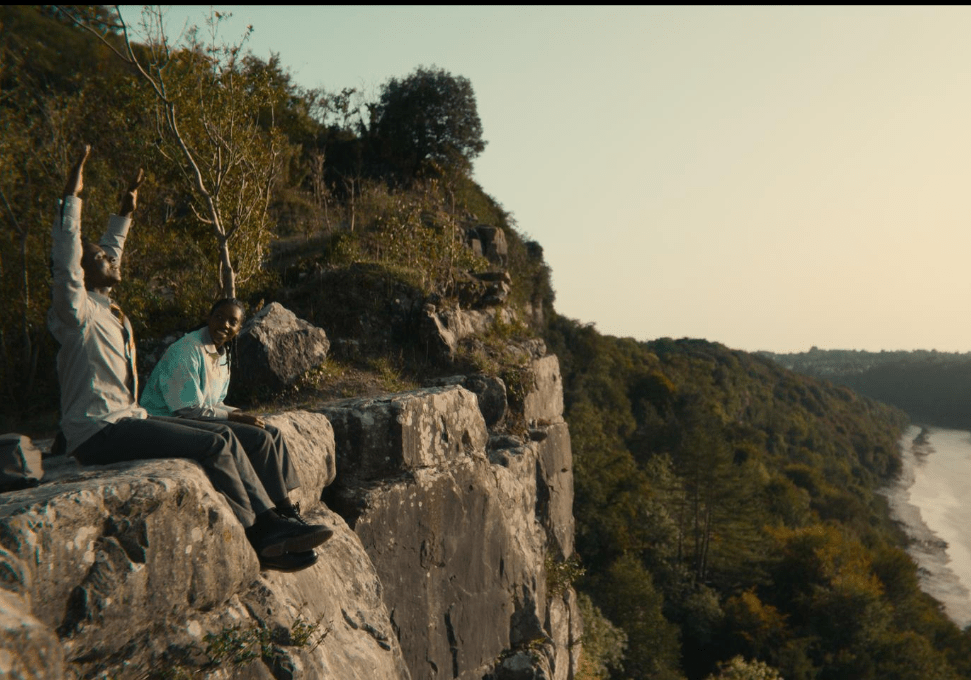
For the Sex Education Fans: right below here are the rocks where Jackson and Cal smoked a doobie and had some deep convo.

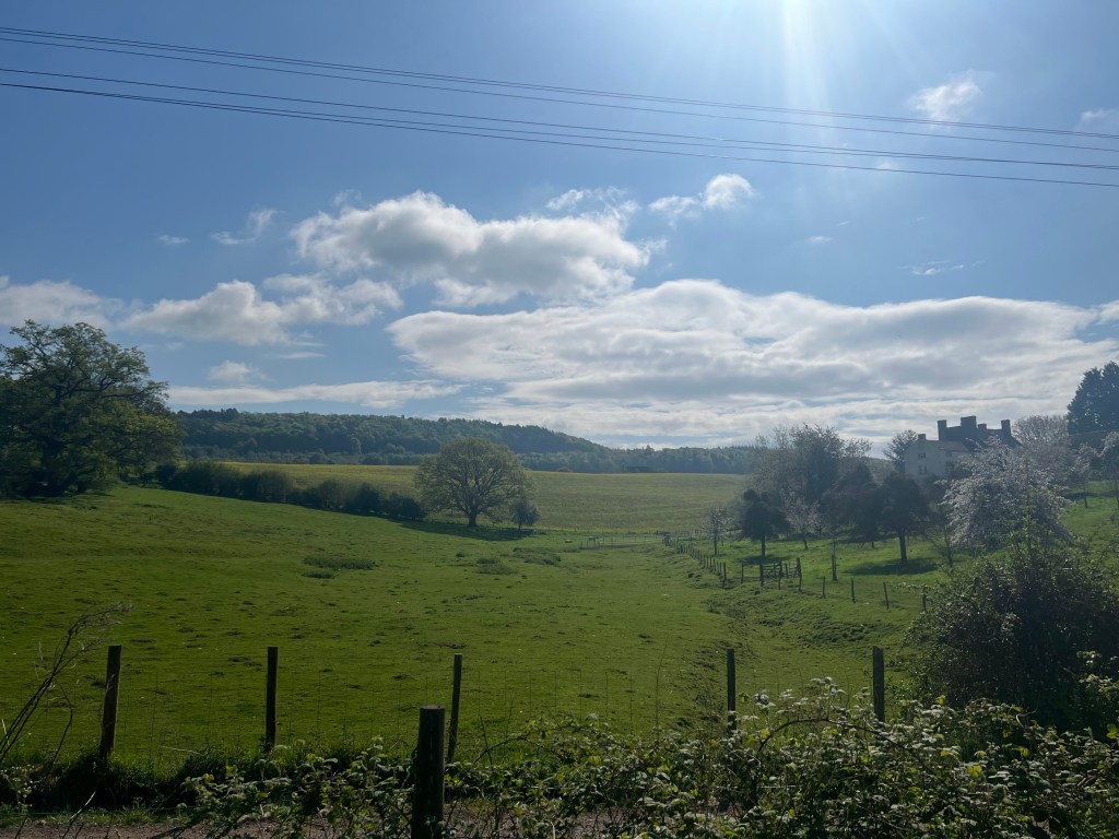
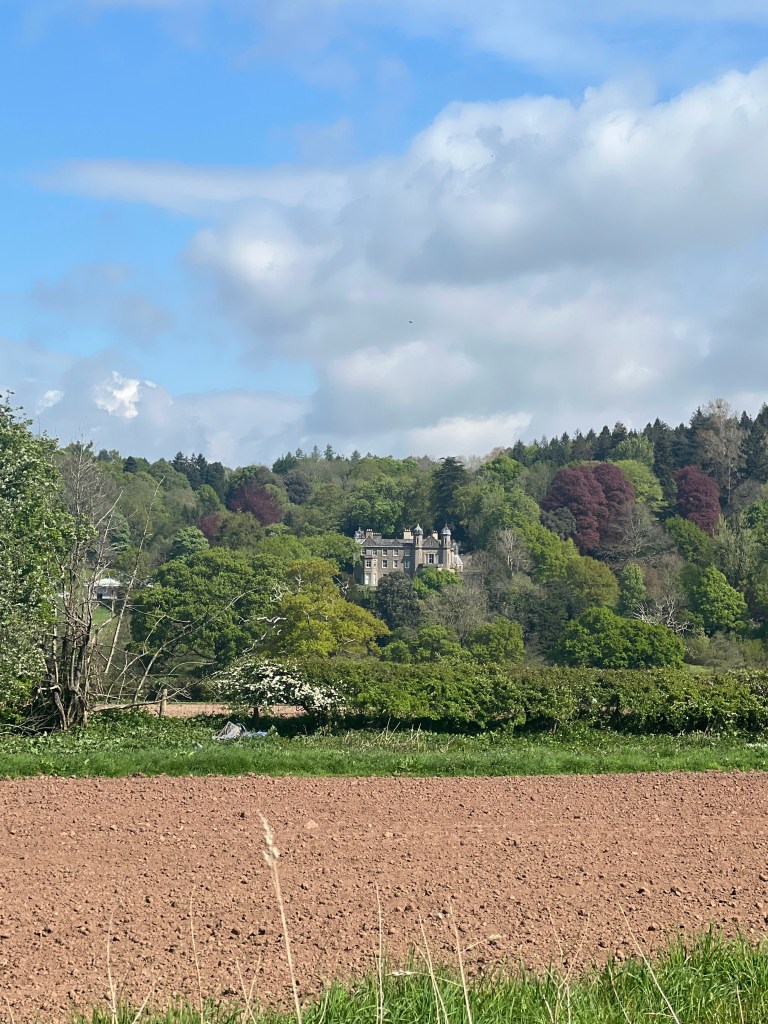
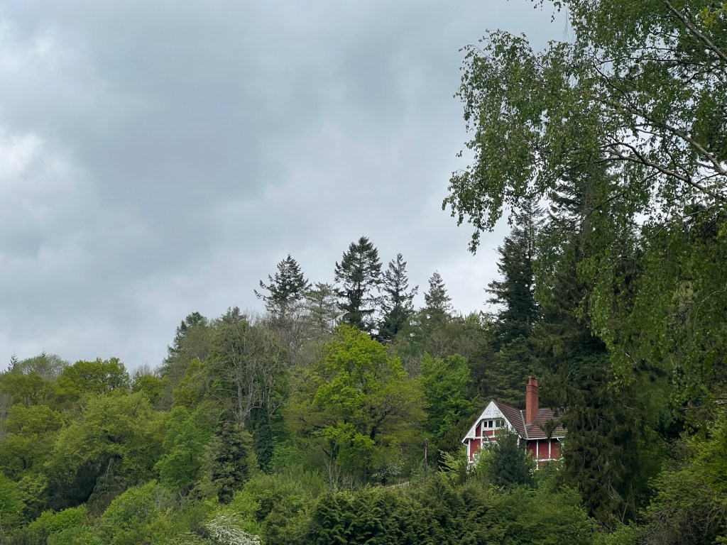
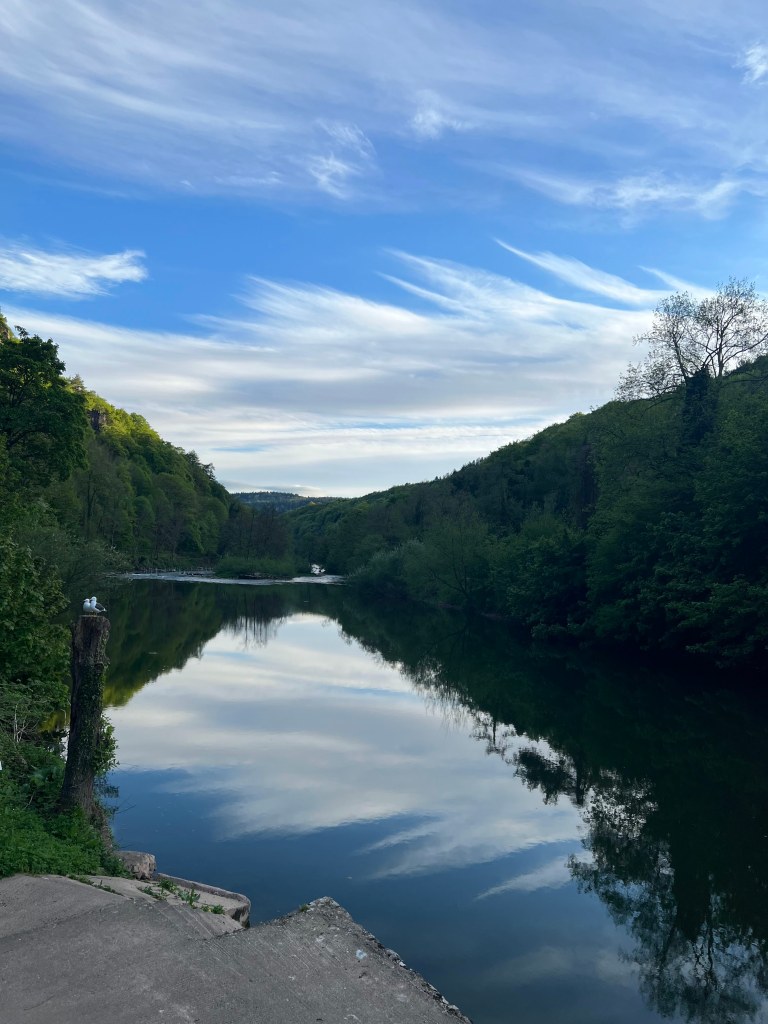
As I was almost all the way down, I noted where I had gone off the track at the beginning of the climb. What I saw from that aspect that I had NOT seen before was this:

I had known that the house was *somewhere* near Symonds Yat, and I kept looking for it along the walk, but this was completely unexpected! I’m pretty sure I squealed quite audibly. The Chateau is a private house and not open to the public. I was quite thrilled to just be in its presence! Incidentally, the caravan park where Maeve lives in the show is near Biblins Bridge, but I didn’t realize that until I had left the area. All in all, not the worst location to miss — caravan parks all sorta look the same.


The next day would see me walk about 7.5 miles to Kerne Bridge. Terrain didn’t look *too* challenging, but…we shall see, shan’t we!
4 May, 2022

Leave a comment